Based on data in OpenStreetMap, here is a list of townlands in the Electoral Division / ED / District Electoral Division of Springfort.
Springfort is in Co.
Springfort is not matched up to Logainm.ie yet.
Map
It is located at 52° 18' 37" N, 8° 40' 46" W.
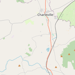
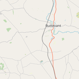
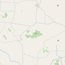
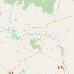
Leaflet | Map data © OpenStreetMap contributors
Area
Springfort has an area of 20.8 km² / 5,137.0 acres / 8.0 square miles.
Townlands
There are 14 townlands that we know about in . This represents 100% of all the area in .
- Ardnageehy 360 A, 1 R, 39 P
- Ballycoskery 856 A, 2 R, 31 P
- Ballynadrideen 641 A, 0 R, 13 P
- Ballynoran 275 A, 2 R, 19 P
- Ballypierce 160 A, 0 R, 35 P
- Ballyroe 392 A, 2 R, 39 P
- Castleharrison 240 A, 2 R, 8 P
- Castlewrixon 129 A, 1 R, 34 P
- Castlewrixon South 835 A, 0 R, 14 P
- Clashganniv 108 A, 3 R, 24 P
- Coolcaum 403 A, 2 R, 10 P
- Farran 67 A, 2 R, 5 P
- Garrynagrannoge 354 A, 0 R, 11 P
- Knockardamrum 310 A, 3 R, 24 P
 OpenStreetMap
Springfort was added to OpenStreetMap on 26 Jan 2017 by Teester.
- View
- Edit