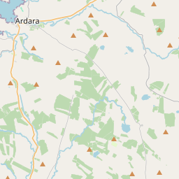
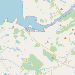
Based on data in OpenStreetMap, here is a list of townlands in the Electoral Division / ED / District Electoral Division of Ardara.
Ardara is in Co.
Ardara is not matched up to Logainm.ie yet.
Map
It is located at 54° 45' 33" N, 8° 20' 30" W.


Leaflet | Map data © OpenStreetMap contributors
Area
Ardara has an area of 36.7 km² / 9,071.5 acres / 14.2 square miles.
Townlands
There are 19 townlands that we know about in . This represents 100.0% of all the area in .
- Ardara 489 A, 2 R, 1 P
- Carrickatlieve Glebe 1828 A, 0 R, 29 P
- Clonconwal 469 A, 3 R, 28 P
- Coraness Glebe 387 A, 3 R, 26 P
- Doochill North 446 A, 3 R, 28 P
- Doochill South 184 A, 1 R, 15 P
- Drumbaran 88 A, 0 R, 37 P
- Drumnacross 316 A, 0 R, 38 P
- Garvegort Glebe 412 A, 0 R, 20 P
- Gortnacart Glebe 680 A, 2 R, 15 P
- Kilrean Lower 322 A, 1 R, 19 P
- Kilrean Upper 1498 A, 2 R, 36 P
- Lurganboy 54 A, 1 R, 33 P
- Monorgan Glebe 362 A, 0 R, 7 P
- Snugborough 407 A, 1 R, 18 P
- Stormhill 68 A, 1 R, 15 P
- Strawoaghter Glebe 722 A, 2 R, 18 P
- Tullyhonwar 247 A, 1 R, 34 P
- Woodhill 82 A, 3 R, 35 P
 OpenStreetMap
Ardara was added to OpenStreetMap on 25 Jan 2017 by Boggedy.
- View
- Edit

 JOSM
JOSM iD
iD