Based on data in OpenStreetMap, here is a list of townlands in the Electoral Division / ED / District Electoral Division of Glen.
Glen is in Co.
Glen is not matched up to Logainm.ie yet.
Map
It is located at 55° 7' 5" N, 7° 48' 40" W.
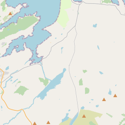
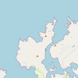
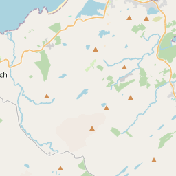
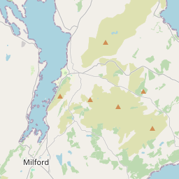
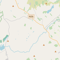
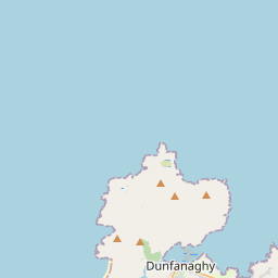
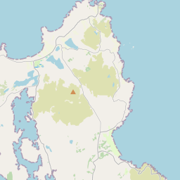
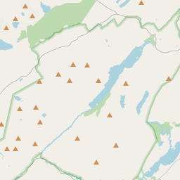
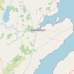
Leaflet | Map data © OpenStreetMap contributors
Area
Glen has an area of 26.1 km² / 6,447.5 acres / 10.1 square miles.
Townlands
There are 13 townlands that we know about in . This represents 99.9% of all the area in .
- Aghadachor 314 A, 0 R, 9 P
- Carnagore 128 A, 2 R, 35 P
- Creevagh 210 A, 3 R, 29 P
- Drumdutton 621 A, 1 R, 13 P
- Drumlackagh 766 A, 3 R, 10 P
- Glengillagrana High 482 A, 0 R, 23 P
- Glenieraragh 1161 A, 0 R, 33 P
- Glenineeny 78 A, 3 R, 13 P
- Glenmenagh 487 A, 3 R, 10 P
- Highglen 796 A, 0 R, 24 P
- Meenformal 766 A, 3 R, 39 P
- Meenlaragh 412 A, 2 R, 30 P
- Toragh 213 A, 3 R, 25 P
 OpenStreetMap
Glen was added to OpenStreetMap on 7 Feb 2017 by Boggedy.
- View
- Edit