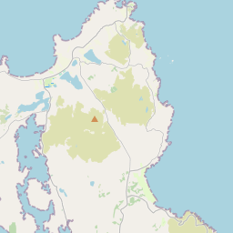
Based on data in OpenStreetMap, here is a list of townlands in the Electoral Division / ED / District Electoral Division of Greenfort.
Greenfort is in Co.
Greenfort is not matched up to Logainm.ie yet.
Map
It is located at 55° 12' 43" N, 7° 39' 15" W.


Leaflet | Map data © OpenStreetMap contributors
Area
Greenfort has an area of 15.3 km² / 3,780.6 acres / 5.9 square miles.
Townlands
There are 23 townlands that we know about in . This represents 100% of all the area in .
- Aghadaghly 102 A, 3 R, 6 P
- Ardglass 96 A, 2 R, 28 P
- Ballymagahy Mountain 143 A, 0 R, 27 P
- Ballymagahy North 126 A, 0 R, 32 P
- Carrowkeel Glebe 278 A, 0 R, 31 P
- Carryblagh 218 A, 3 R, 36 P
- Cashelpreaghan 229 A, 0 R, 13 P
- Claggan 82 A, 3 R, 16 P
- Coolback 130 A, 3 R, 0 P
- Corry 336 A, 3 R, 7 P
- Croaghross 329 A, 1 R, 22 P
- Dargan 135 A, 0 R, 28 P
- Drum 57 A, 0 R, 12 P
- Drumany 85 A, 3 R, 29 P
- Duntinny 112 A, 3 R, 32 P
- Gortnacor 124 A, 2 R, 22 P
- Greenfort Demesne 298 A, 0 R, 33 P
- Greenfort Island 2 A, 3 R, 34 P
- Kindrum 220 A, 3 R, 33 P
- Legboy 88 A, 3 R, 8 P
- Lurganboy 116 A, 1 R, 14 P
- Newtown Springfield 123 A, 3 R, 17 P
- Springfield 338 A, 3 R, 0 P
 OpenStreetMap
Greenfort was added to OpenStreetMap on 10 Feb 2017 by Boggedy.
- View
- Edit

 JOSM
JOSM iD
iD