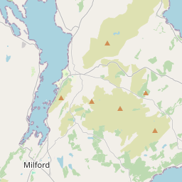
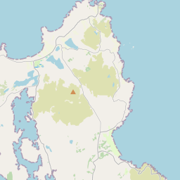
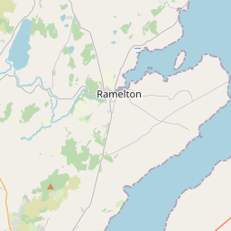
Based on data in OpenStreetMap, here is a list of townlands in the Electoral Division / ED / District Electoral Division of Rathmullan.
Rathmullan is in Co.
Rathmullan is not matched up to Logainm.ie yet.
Map
It is located at 55° 6' 33" N, 7° 33' 21" W.


Leaflet | Map data © OpenStreetMap contributors
Area
Rathmullan has an area of 18.3 km² / 4,513.0 acres / 7.1 square miles.
Townlands
There are 28 townlands that we know about in . This represents 100% of all the area in .
- Aghavannan Far 172 A, 3 R, 21 P
- Aghavannan Near 101 A, 2 R, 33 P
- Bin 25 A, 1 R, 11 P
- Carnafeagh 188 A, 0 R, 5 P
- Carradoan 89 A, 0 R, 6 P
- Carraleena 21 A, 0 R, 39 P
- Clondallan 268 A, 2 R, 14 P
- Craigmaddyroe Far 144 A, 2 R, 11 P
- Craigmaddyroe Near 122 A, 3 R, 15 P
- Crevary Lower 173 A, 1 R, 12 P
- Crevary Upper 214 A, 1 R, 0 P
- Glencross 309 A, 1 R, 13 P
- Gortcross 66 A, 3 R, 8 P
- Gortflugh 194 A, 3 R, 2 P
- Gort Lough 151 A, 0 R, 26 P
- Keranstown 59 A, 1 R, 3 P
- Killygarvan Lower 160 A, 3 R, 3 P
- Killygarvan Upper 149 A, 2 R, 17 P
- Kinletteragh 524 A, 3 R, 1 P
- Kinnegar 56 A, 3 R, 20 P
- Kintale 89 A, 3 R, 15 P
- Lugher 70 A, 1 R, 38 P
- Magheranakilly 97 A, 1 R, 14 P
- Meenreagh 172 A, 1 R, 39 P
- Millbrook 22 A, 3 R, 2 P
- Newtown Carradoan 96 A, 0 R, 9 P
- Rathmullan and Ballyboe 498 A, 0 R, 17 P
- Saltpans 270 A, 2 R, 29 P
 OpenStreetMap
Rathmullan was added to OpenStreetMap on 11 Feb 2017 by Boggedy.
- View
- Edit

 JOSM
JOSM iD
iD