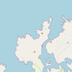
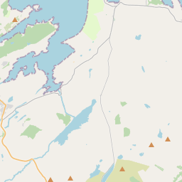
Based on data in OpenStreetMap, here is a list of townlands in the Electoral Division / ED / District Electoral Division of Rosguill.
Rosguill is in Co.
Rosguill is not matched up to Logainm.ie yet.
Map
It is located at 55° 12' 47" N, 7° 49' 42" W.


Leaflet | Map data © OpenStreetMap contributors
Area
Rosguill has an area of 21.9 km² / 5,409.6 acres / 8.5 square miles.
Townlands
There are 19 townlands that we know about in . This represents 100% of all the area in .
- Ardbane 343 A, 2 R, 25 P
- Clontallagh 229 A, 3 R, 5 P
- Crocknamurleog 277 A, 0 R, 32 P
- Derrycassan 722 A, 3 R, 36 P
- Doagh 393 A, 0 R, 33 P
- Downies 258 A, 1 R, 24 P
- Dundooan Lower 658 A, 3 R, 6 P
- Dundooan Upper 139 A, 0 R, 15 P
- Glebe 184 A, 1 R, 2 P
- Glenoory 298 A, 1 R, 17 P
- Gortnalughoge 186 A, 3 R, 2 P
- Inishfaugh 3 A, 0 R, 21 P
- Island Roy 107 A, 1 R, 38 P
- Kinnalargy 116 A, 1 R, 12 P
- Larganreagh 8 A, 0 R, 5 P
- Magherabeg 354 A, 0 R, 6 P
- Melmore 413 A, 1 R, 32 P
- Mevagh 158 A, 3 R, 20 P
- Rosapenna 555 A, 3 R, 1 P
 OpenStreetMap
Rosguill was added to OpenStreetMap on 6 Feb 2017 by Boggedy.
- View
- Edit

 JOSM
JOSM iD
iD