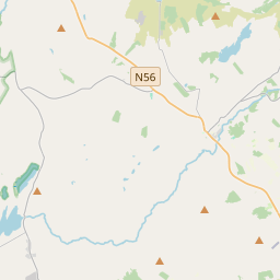
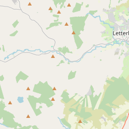
Based on data in OpenStreetMap, here is a list of townlands in the Electoral Division / ED / District Electoral Division of Templedouglas.
Templedouglas is in Co.
Templedouglas is not matched up to Logainm.ie yet.
Map
It is located at 54° 58' 41" N, 7° 51' 24" W.


Leaflet | Map data © OpenStreetMap contributors
Area
Templedouglas has an area of 36.7 km² / 9,080.2 acres / 14.2 square miles.
Townlands
There are 28 townlands that we know about in . This represents 100% of all the area in .
- Ballybolauder 274 A, 3 R, 38 P
- Ballynakilly 400 A, 0 R, 36 P
- Boheolan 177 A, 3 R, 22 P
- Cabra Brook 272 A, 3 R, 0 P
- Cabra Glebe 236 A, 0 R, 39 P
- Carnatreantagh 448 A, 3 R, 35 P
- Carrick 644 A, 2 R, 27 P
- Carrickyscanlan 162 A, 0 R, 2 P
- Cashelreagh 215 A, 1 R, 35 P
- Cloncarney 822 A, 0 R, 16 P
- Derrora 1039 A, 1 R, 33 P
- Dromore 662 A, 1 R, 38 P
- Drumacandoo 187 A, 1 R, 1 P
- Drumbologe 66 A, 1 R, 35 P
- Drumcavany 276 A, 0 R, 29 P
- Drumnashammar 208 A, 3 R, 20 P
- Foxhall 167 A, 0 R, 8 P
- Glenkeeragh 562 A, 0 R, 12 P
- Maghernagran 137 A, 2 R, 19 P
- Pollans 167 A, 0 R, 5 P
- Procklis 438 A, 1 R, 20 P
- Roshin 166 A, 3 R, 16 P
- Stackarnagh 503 A, 2 R, 32 P
- Temple Douglas 26 A, 1 R, 12 P
- Treanbeg 227 A, 3 R, 13 P
- Tullychullion 190 A, 0 R, 35 P
- Tullynascreen 136 A, 0 R, 2 P
- Whitehill 261 A, 0 R, 2 P
 OpenStreetMap
Templedouglas was added to OpenStreetMap on 12 Feb 2017 by Boggedy.
- View
- Edit

 JOSM
JOSM iD
iD