Based on data in OpenStreetMap, here is a list of townlands in the Electoral Division / ED / District Electoral Division of Greenhill.
Greenhill is in Co.
Greenhill is not matched up to Logainm.ie yet.
Map
It is located at 54° 19' 25" N, 7° 27' 35" W.
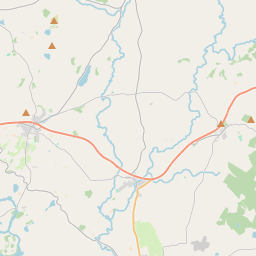
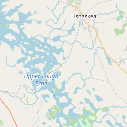
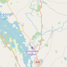
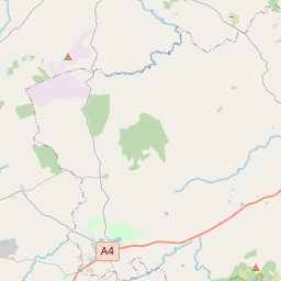
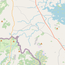
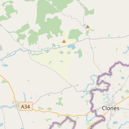
Leaflet | Map data © OpenStreetMap contributors
Area
Greenhill has an area of 12.8 km² / 3,159.7 acres / 4.9 square miles.
Townlands
There are 16 townlands that we know about in . This represents 100% of all the area in .
- Coolnagrane 145 A, 2 R, 12 P
- Cornafannoge 209 A, 1 R, 25 P
- Currin 244 A, 2 R, 2 P
- Drumadagarve 241 A, 2 R, 12 P
- Drumgowna 86 A, 2 R, 34 P
- Drumlone 344 A, 0 R, 29 P
- Dungoghy 42 A, 2 R, 4 P
- Giltagh 204 A, 3 R, 9 P
- Greenhill 130 A, 0 R, 21 P
- Hollymount 61 A, 3 R, 7 P
- Killycloghy 157 A, 3 R, 6 P
- Lislea 230 A, 1 R, 19 P
- Littlemount 247 A, 2 R, 23 P
- Rathkeelan 387 A, 2 R, 14 P
- Skeagh 267 A, 0 R, 13 P
- Tattenamona 157 A, 3 R, 38 P
 OpenStreetMap
Greenhill was added to OpenStreetMap on 25 Mar 2021 by b-unicycling.
- View
- Edit