Based on data in OpenStreetMap, here is a list of townlands in the Electoral Division / ED / District Electoral Division of Addergoole.
Addergoole is in Co.
Addergoole is not matched up to Logainm.ie yet.
Map
It is located at 53° 38' 25" N, 8° 50' 10" W.
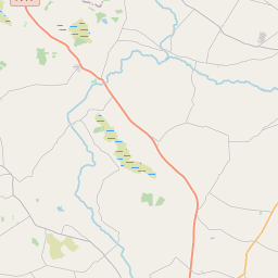
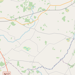
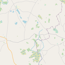
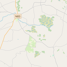
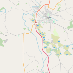
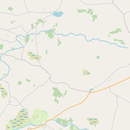
Leaflet | Map data © OpenStreetMap contributors
Area
Addergoole has an area of 24.9 km² / 6,154.3 acres / 9.6 square miles.
Townlands
There are 14 townlands that we know about in . This represents 100% of all the area in .
- Ardcloon 170 A, 0 R, 27 P
- Carrowntomush 205 A, 2 R, 31 P
- Cloonbrusk 159 A, 2 R, 27 P
- Cloondergan 711 A, 0 R, 16 P
- Cloonfane 494 A, 1 R, 23 P
- Conagher 815 A, 3 R, 13 P
- Curraghaun 591 A, 3 R, 38 P
- Darrary North 158 A, 0 R, 0 P
- Darrary South 167 A, 3 R, 18 P
- Garrafrauns 204 A, 2 R, 2 P
- Kinnakinelly 691 A, 0 R, 34 P
- Quinaltagh 721 A, 0 R, 23 P
- Shanballymore 725 A, 3 R, 15 P
- Stripe North 336 A, 3 R, 12 P
 OpenStreetMap
Addergoole was added to OpenStreetMap on 14 Dec 2016 by Boggedy.
- View
- Edit