Based on data in OpenStreetMap, here is a list of townlands in the Electoral Division / ED / District Electoral Division of Clonfert.
Clonfert is in Co.
Clonfert is not matched up to Logainm.ie yet.
Map
It is located at 53° 13' 45" N, 8° 4' 26" W.
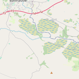
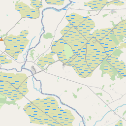
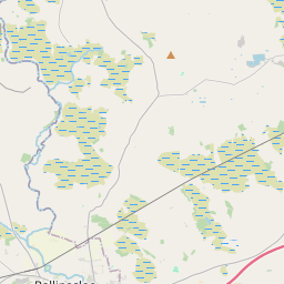
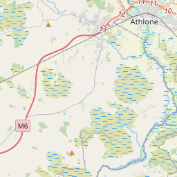
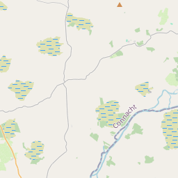
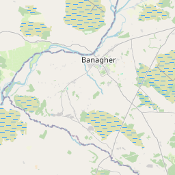
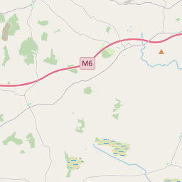
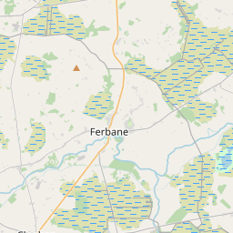
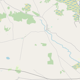
Leaflet | Map data © OpenStreetMap contributors
Area
Clonfert has an area of 31.3 km² / 7,726.3 acres / 12.1 square miles.
Townlands
There are 28 townlands that we know about in . This represents 99.3% of all the area in .
- Abbeyland Great 810 A, 3 R, 5 P
- Abbeyland Little 227 A, 0 R, 3 P
- Ballynakill 598 A, 2 R, 28 P
- Bishop's Islands 139 A, 3 R, 35 P
- Brackloon 284 A, 1 R, 18 P
- Clonfert 1627 A, 1 R, 24 P
- Clonfert Demesne 526 A, 0 R, 13 P
- Clonfert Demesne Bog 270 A, 0 R, 19 P
- Clonfert North 174 A, 1 R, 38 P
- Clonfert South 16 A, 3 R, 29 P
- Cloonconra 236 A, 1 R, 31 P
- Cloonkea 211 A, 1 R, 7 P
- Cloonshease (Daly) 77 A, 0 R, 16 P
- Cloonshease (Persse) 297 A, 2 R, 31 P
- Coolacurn North 30 A, 2 R, 38 P
- Coolacurn South 102 A, 1 R, 15 P
- Costello's Island 11 A, 0 R, 27 P
- Glebe 67 A, 1 R, 30 P
- Goatland 24 A, 1 R, 14 P
- Gortaloughane 22 A, 3 R, 32 P
- Killoran 147 A, 2 R, 26 P
- Lenamore 62 A, 2 R, 18 P
- Lisbeg 303 A, 1 R, 29 P
- Lismore Demesne 469 A, 3 R, 10 P
- Lispheasty 109 A, 1 R, 27 P
- Nunsacre 5 A, 1 R, 1 P
- Rooaun 638 A, 1 R, 29 P
- Srahaun 176 A, 2 R, 35 P
 OpenStreetMap
Clonfert was added to OpenStreetMap on 20 Oct 2015 by Boggedy.
- View
- Edit