Based on data in OpenStreetMap, here is a list of townlands in the Electoral Division / ED / District Electoral Division of Deerpark.
Deerpark is in Co.
Deerpark is not matched up to Logainm.ie yet.
Map
It is located at 53° 22' 57" N, 8° 49' 33" W.
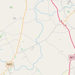
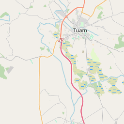
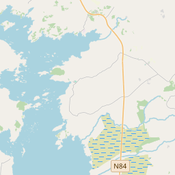
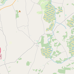
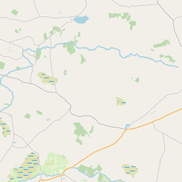
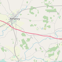
Leaflet | Map data © OpenStreetMap contributors
Area
Deerpark has an area of 18.5 km² / 4,572.2 acres / 7.1 square miles.
Townlands
There are 15 townlands that we know about in . This represents 100% of all the area in .
- Ballinvoher 136 A, 2 R, 3 P
- Ballybrone 770 A, 2 R, 25 P
- Ballyglass 196 A, 2 R, 0 P
- Ballynasheeoge 178 A, 3 R, 3 P
- Barnaboy 299 A, 2 R, 13 P
- Canteeny 143 A, 3 R, 15 P
- Carheenlea 508 A, 1 R, 11 P
- Derrymaclaughna 207 A, 1 R, 10 P
- Garraun 168 A, 0 R, 26 P
- Island 125 A, 0 R, 3 P
- Laragh More 701 A, 0 R, 6 P
- Mira 513 A, 1 R, 14 P
- Monard 117 A, 0 R, 33 P
- Parkgarve 56 A, 3 R, 36 P
- Rathfee 448 A, 3 R, 18 P
 OpenStreetMap
Deerpark was added to OpenStreetMap on 20 Nov 2016 by Boggedy.
- View
- Edit