Based on data in OpenStreetMap, here is a list of townlands in the Electoral Division / ED / District Electoral Division of Gorumna.
Gorumna is in Co.
Gorumna is not matched up to Logainm.ie yet.
Map
It is located at 53° 14' 58" N, 9° 41' 27" W.
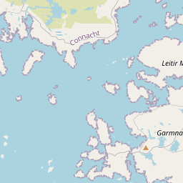
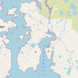
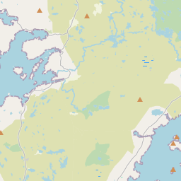
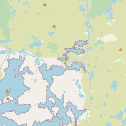


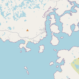
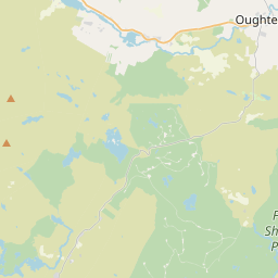

Leaflet | Map data © OpenStreetMap contributors
Area
Gorumna has an area of 31.7 km² / 7,843.0 acres / 12.3 square miles.
Townlands
There are 15 townlands that we know about in . This represents 100% of all the area in .
- Crappagh 144 A, 2 R, 13 P
- Creelogh 454 A, 1 R, 1 P
- Dinish 117 A, 1 R, 13 P
- Freaghillaun-beg 32 A, 1 R, 1 P
- Freaghillaun-more 27 A, 1 R, 25 P
- Furnace 253 A, 2 R, 26 P
- Golam 54 A, 3 R, 7 P
- Illauncosheen 19 A, 2 R, 36 P
- Illaunnanownim 59 A, 1 R, 28 P
- Inisherk 78 A, 3 R, 8 P
- Inishlay 23 A, 3 R, 34 P
- Knock 308 A, 0 R, 37 P
- Leitir Mealláin 905 A, 1 R, 10 P
- Maumeen 3602 A, 3 R, 7 P
- Teeranea 1760 A, 1 R, 27 P
 OpenStreetMap
Gorumna was added to OpenStreetMap on 7 Sep 2014 by Boggedy.
- View
- Edit