Based on data in OpenStreetMap, here is a list of townlands in the Electoral Division / ED / District Electoral Division of Island.
Island is in Co.
Island is not matched up to Logainm.ie yet.
Map
It is located at 53° 42' 2" N, 8° 34' 3" W.
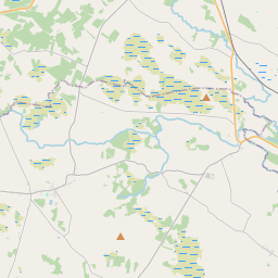
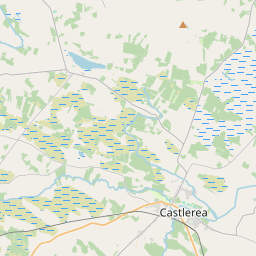
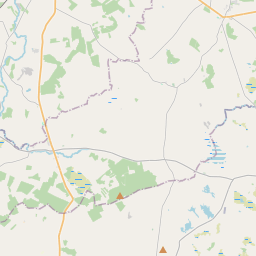
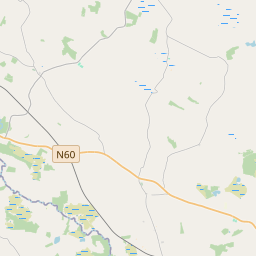
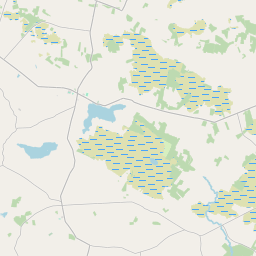
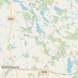
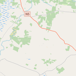
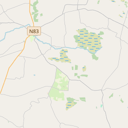
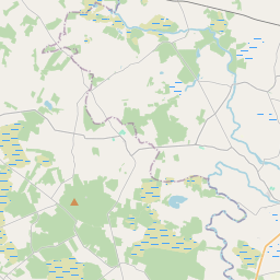
Leaflet | Map data © OpenStreetMap contributors
Area
Island has an area of 19.7 km² / 4,872.9 acres / 7.6 square miles.
Townlands
There are 14 townlands that we know about in . This represents 100% of all the area in .
- Ballaghaugeag East 259 A, 0 R, 14 P
- Castlefield 289 A, 3 R, 6 P
- Derrywode 483 A, 0 R, 31 P
- Farm 503 A, 2 R, 20 P
- Fortyacres 162 A, 3 R, 23 P
- Island East 302 A, 3 R, 31 P
- Island West 221 A, 1 R, 12 P
- Kilbeg 754 A, 3 R, 27 P
- Kiltybannan 186 A, 0 R, 15 P
- Knockanarra 295 A, 2 R, 17 P
- Lettera 261 A, 0 R, 36 P
- Moneen 293 A, 1 R, 10 P
- Moneenally 294 A, 0 R, 30 P
- Morefield 564 A, 2 R, 23 P
 OpenStreetMap
Island was added to OpenStreetMap on 30 Dec 2016 by Boggedy.
- View
- Edit