Based on data in OpenStreetMap, here is a list of townlands in the Electoral Division / ED / District Electoral Division of Kellysgrove.
Kellysgrove is in Co.
Kellysgrove is not matched up to Logainm.ie yet.
Map
It is located at 53° 17' 34" N, 8° 15' 14" W.
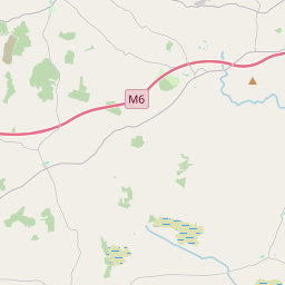
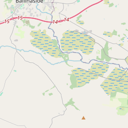
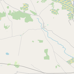
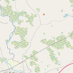
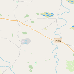
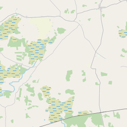
Leaflet | Map data © OpenStreetMap contributors
Area
Kellysgrove has an area of 23.3 km² / 5,750.5 acres / 9.0 square miles.
Townlands
There are 17 townlands that we know about in . This represents 100% of all the area in .
- Attibrassil 177 A, 0 R, 7 P
- Glenloughaun 298 A, 2 R, 25 P
- Gortmore 123 A, 1 R, 28 P
- Gortnahorna Clancarty 230 A, 2 R, 9 P
- Gortnahorna Clanricarde 442 A, 2 R, 16 P
- Graigueawoneen 341 A, 0 R, 18 P
- Kellysgrove 1722 A, 0 R, 25 P
- Kilnahown 142 A, 0 R, 8 P
- Lisheennavannoge (Blake) 43 A, 3 R, 10 P
- Lisheennavannoge (Cloncarthy) 79 A, 1 R, 1 P
- Liskelly 204 A, 3 R, 4 P
- Mackney Clancarty 283 A, 2 R, 19 P
- Mackney Kelly 115 A, 0 R, 2 P
- Shanvoley 42 A, 0 R, 36 P
- Templepark 118 A, 1 R, 7 P
- Tristaun 717 A, 2 R, 1 P
- Urraghry 668 A, 1 R, 16 P
 OpenStreetMap
Kellysgrove was added to OpenStreetMap on 15 Nov 2015 by Boggedy.
- View
- Edit