Based on data in OpenStreetMap, here is a list of townlands in the Electoral Division / ED / District Electoral Division of Raheen.
Raheen is in Co.
Raheen is not matched up to Logainm.ie yet.
Map
It is located at 53° 35' 32" N, 8° 37' 48" W.
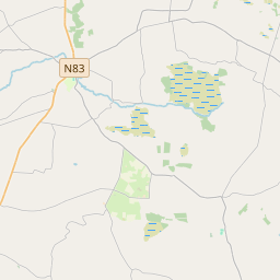
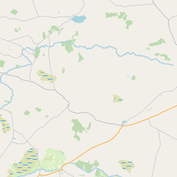
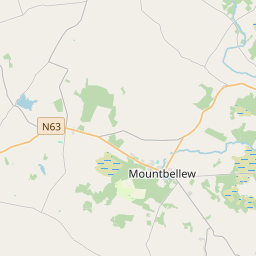
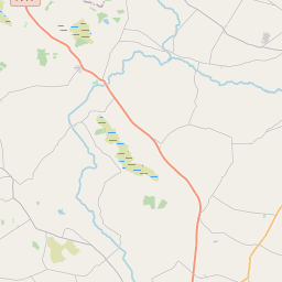
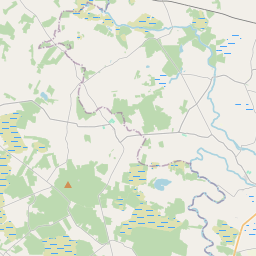
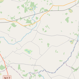
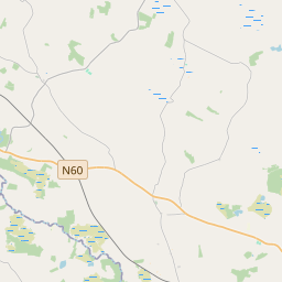
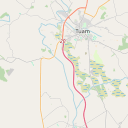
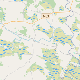
Leaflet | Map data © OpenStreetMap contributors
Area
Raheen has an area of 22.9 km² / 5,669.2 acres / 8.9 square miles.
Townlands
There are 15 townlands that we know about in . This represents 100% of all the area in .
- Bracklagh 117 A, 1 R, 9 P
- Cloonagat 424 A, 2 R, 19 P
- Gortgarrow 391 A, 1 R, 8 P
- Kippaunagh 306 A, 0 R, 8 P
- Lerhin 280 A, 0 R, 36 P
- Lettera 433 A, 0 R, 27 P
- Lisheennaheltia 1091 A, 2 R, 23 P
- Parkbaun 361 A, 2 R, 0 P
- Park East 359 A, 0 R, 3 P
- Park West 177 A, 2 R, 26 P
- Patch 417 A, 2 R, 2 P
- Polleighter 297 A, 1 R, 22 P
- Shantallow 155 A, 3 R, 34 P
- Timadooaun 562 A, 0 R, 17 P
- Timard 293 A, 2 R, 29 P
 OpenStreetMap
Raheen was added to OpenStreetMap on 19 Dec 2016 by Boggedy.
- View
- Edit