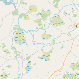
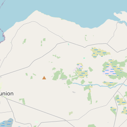
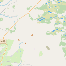
Based on data in OpenStreetMap, here is a list of townlands in Dysert.
Dysert is in the baronies of Clanmaurice and Iraghticonnor.
Dysert is in the counties of Kerry.
Dysert is on Logainm.ie: Dysert.
Map
It is located at 52° 25' 28" N, 9° 35' 19" W.


Leaflet | Map data © OpenStreetMap contributors
Area
Dysert has an area of 24.8 km² / 6,132.6 acres / 9.6 square miles.
Townlands
There are 20 townlands that we know about in Dysert. This represents 98.1% of all the area in Dysert.
- Ballintogher, Dysert Civil Parish, Barony of Clanmaurice, Co. Kerry 213 A, 0 R, 31 P
- Ballyhennessy, Dysert Civil Parish, Barony of Clanmaurice, Co. Kerry 419 A, 0 R, 37 P
- Ballyhorgan East, Dysert Civil Parish, Barony of Clanmaurice, Co. Kerry 501 A, 1 R, 39 P
- Ballyhorgan South, Dysert Civil Parish, Barony of Clanmaurice, Co. Kerry 268 A, 1 R, 15 P
- Ballyhorgan West, Dysert Civil Parish, Barony of Clanmaurice, Co. Kerry 223 A, 3 R, 21 P
- Ballynagare, Dysert Civil Parish, Barony of Clanmaurice, Co. Kerry 993 A, 0 R, 11 P
- Bawnachaulig, Dysert Civil Parish, Barony of Iraghticonnor, Co. Kerry 224 A, 1 R, 30 P
- Beennameelane, Dysert Civil Parish, Barony of Iraghticonnor, Co. Kerry 140 A, 0 R, 11 P
- Clooncolla, Dysert Civil Parish, Barony of Clanmaurice, Co. Kerry 164 A, 2 R, 24 P
- Coolagowan, Dysert Civil Parish, Barony of Iraghticonnor, Co. Kerry 263 A, 3 R, 37 P
- Croughcroneen (see Curraghcroneen (aka Croughcroneen) , Dysert Civil Parish, Barony of Clanmaurice, Co. Kerry)
- Curraghcroneen (aka Croughcroneen) , Dysert Civil Parish, Barony of Clanmaurice, Co. Kerry 471 A, 1 R, 16 P
- Dromloughra, Dysert Civil Parish, Barony of Iraghticonnor, Co. Kerry 343 A, 3 R, 29 P
- Dysert, Dysert Civil Parish, Barony of Clanmaurice, Co. Kerry 332 A, 1 R, 25 P
- Dysert Marshes, Dysert Civil Parish, Barony of Clanmaurice, Co. Kerry 295 A, 1 R, 17 P
- East Ballyhorgan (see Ballyhorgan East, Dysert Civil Parish, Barony of Clanmaurice, Co. Kerry)
- Ennismore, Dysert Civil Parish, Barony of Iraghticonnor, Co. Kerry 439 A, 0 R, 37 P
- Gortnaminsha, Dysert Civil Parish, Barony of Iraghticonnor, Co. Kerry 265 A, 0 R, 14 P
- Killacrim, Dysert Civil Parish, Barony of Iraghticonnor, Co. Kerry 240 A, 3 R, 8 P
- Knockaunacurraheen, Dysert Civil Parish, Barony of Clanmaurice, Co. Kerry 64 A, 0 R, 25 P
- Poulnahaha, Dysert Civil Parish, Barony of Iraghticonnor, Co. Kerry 105 A, 2 R, 19 P
- Scartleigh, Dysert Civil Parish, Barony of Iraghticonnor, Co. Kerry 47 A, 2 R, 17 P
- South Ballyhorgan (see Ballyhorgan South, Dysert Civil Parish, Barony of Clanmaurice, Co. Kerry)
- West Ballyhorgan (see Ballyhorgan West, Dysert Civil Parish, Barony of Clanmaurice, Co. Kerry)
 OpenStreetMap
Dysert was added to OpenStreetMap on 2 Aug 2016 by Teester.
- View
- Edit

 JOSM
JOSM iD
iD