Based on data in OpenStreetMap, here is a list of townlands in the Electoral Division / ED / District Electoral Division of Glanmore.
We don't know what county Glanmore is in.
Glanmore is not matched up to Logainm.ie yet.
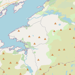
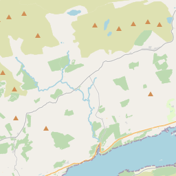
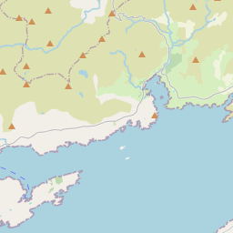
Map
It is located at 51° 44' 40" N, 9° 45' 55" W.


Leaflet | Map data © OpenStreetMap contributors
Area
Glanmore has an area of 73.2 km² / 18,091.0 acres / 28.3 square miles.
Townlands
There are 25 townlands that we know about in . This represents 100% of all the area in .
- Cangullen 547 A, 1 R, 12 P
- Cashelkeelty 596 A, 2 R, 35 P
- Clogherane 711 A, 0 R, 15 P
- Collorus 491 A, 3 R, 0 P
- Coolcreen 736 A, 2 R, 36 P
- Coolownig 163 A, 0 R, 10 P
- Creeveen 565 A, 2 R, 23 P
- Cuhig 580 A, 0 R, 21 P
- Cummeengeera 469 A, 3 R, 10 P
- Deelis 480 A, 0 R, 29 P
- Derrygreenia 467 A, 3 R, 38 P
- Dromaclaurig 724 A, 0 R, 12 P
- Dromerkeen 227 A, 0 R, 2 P
- Eskadawer 380 A, 0 R, 0 P
- Fehanah 533 A, 3 R, 11 P
- Glanmore 2250 A, 0 R, 25 P
- Glanrastel 2621 A, 0 R, 28 P
- Glentrasna 2102 A, 3 R, 37 P
- Gortavallig 290 A, 3 R, 3 P
- Knockowen 442 A, 0 R, 16 P
- Lauragh Lower 154 A, 2 R, 2 P
- Lauragh Upper 383 A, 0 R, 22 P
- Reenkilla 497 A, 3 R, 25 P
- Shinnagh 476 A, 3 R, 14 P
- Shronebirrane 1195 A, 3 R, 35 P
 OpenStreetMap
Glanmore was added to OpenStreetMap on 11 Jan 2017 by Teester.
- View
- Edit

 JOSM
JOSM iD
iD