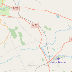
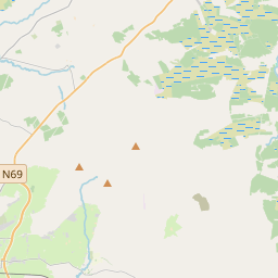
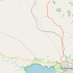
Based on data in OpenStreetMap, here is a list of townlands in the Electoral Division / ED / District Electoral Division of Molahiffe.
Molahiffe is in Co.
Molahiffe is not matched up to Logainm.ie yet.
Map
It is located at 52° 9' 55" N, 9° 33' 35" W.


Leaflet | Map data © OpenStreetMap contributors
Area
Molahiffe has an area of 35.7 km² / 8,832.6 acres / 13.8 square miles.
Townlands
There are 30 townlands that we know about in . This represents 100% of all the area in .
- Ballinivarrig 153 A, 0 R, 32 P
- Ballybane 261 A, 2 R, 17 P
- Bohereens 107 A, 2 R, 17 P
- Boolacullane 685 A, 0 R, 37 P
- Bushmount 277 A, 0 R, 17 P
- Castlefarm 258 A, 2 R, 8 P
- Cloonlara 173 A, 0 R, 22 P
- Connigar 239 A, 2 R, 2 P
- Corbally 115 A, 1 R, 21 P
- Dromore 610 A, 1 R, 32 P
- Farranfore 209 A, 1 R, 26 P
- Gearha 465 A, 1 R, 23 P
- Gortalassa 165 A, 3 R, 33 P
- Gortavullin 106 A, 1 R, 21 P
- Gortshanavogh 484 A, 1 R, 4 P
- Gowlane 333 A, 0 R, 20 P
- Graffeens 56 A, 0 R, 23 P
- Gurteenroe 289 A, 2 R, 2 P
- Inchinveema 195 A, 2 R, 21 P
- Killahane 145 A, 2 R, 16 P
- Killeagh 657 A, 1 R, 12 P
- Knockaderry 379 A, 2 R, 34 P
- Lisheennacannina 365 A, 3 R, 35 P
- Reavaun 425 A, 0 R, 1 P
- Rossanean 364 A, 3 R, 1 P
- Rossanean 200 A, 2 R, 21 P
- Rossmore 273 A, 3 R, 34 P
- Roxborough 247 A, 3 R, 30 P
- Rusheen 293 A, 3 R, 21 P
- Skahies 290 A, 0 R, 20 P
 OpenStreetMap
Molahiffe was added to OpenStreetMap on 10 Jan 2017 by Teester.
- View
- Edit

 JOSM
JOSM iD
iD