Based on data in OpenStreetMap, here is a list of townlands in Pollardstown.
Pollardstown is in the baronies of East Offaly.
Pollardstown is in the counties of Kildare.
Pollardstown is on Logainm.ie: Pollardstown.
Map
It is located at 53° 10' 46" N, 6° 50' 55" W.
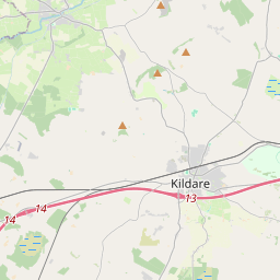
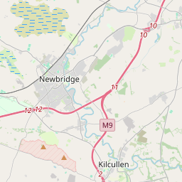
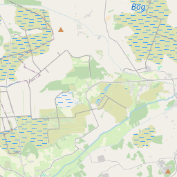
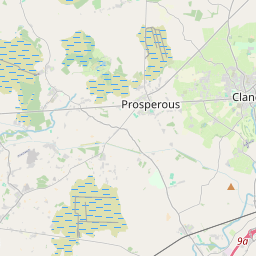
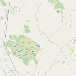

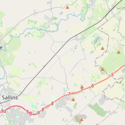
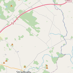
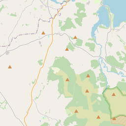
Leaflet | Map data © OpenStreetMap contributors
Area
Pollardstown has an area of 5.1 km² / 1,250.5 acres / 2.0 square miles.
Townlands
There are 2 townlands that we know about in Pollardstown. This represents 100% of all the area in Pollardstown.
- Baile an Pholardaigh (see Pollardstown (Baile an Pholardaigh) , Pollardstown Civil Parish, Barony of East Offaly, Co. Kildare)
- Loch Bruacháin (see Loughbrown (Loch Bruacháin) , Pollardstown Civil Parish, Barony of East Offaly, Co. Kildare)
- Loughbrown (Loch Bruacháin) , Pollardstown Civil Parish, Barony of East Offaly, Co. Kildare 188 A, 0 R, 26 P
- Pollardstown (Baile an Pholardaigh) , Pollardstown Civil Parish, Barony of East Offaly, Co. Kildare 1062 A, 1 R, 7 P
 OpenStreetMap
Pollardstown was added to OpenStreetMap on 17 Mar 2015 by jmkie.
- View
- Edit