Based on data in OpenStreetMap, here is a list of townlands in the Electoral Division / ED / District Electoral Division of Castlecomer.
Castlecomer is in Co.
Castlecomer is not matched up to Logainm.ie yet.
Map
It is located at 52° 48' 29" N, 7° 12' 37" W.
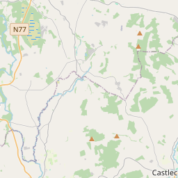
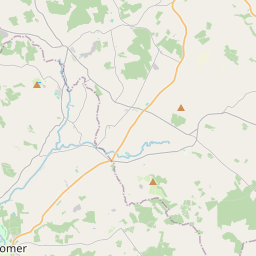
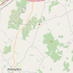
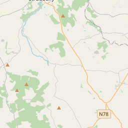


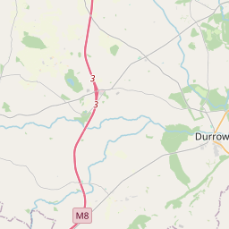
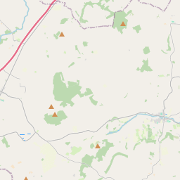
Leaflet | Map data © OpenStreetMap contributors
Area
Castlecomer has an area of 30.6 km² / 7,571.5 acres / 11.8 square miles.
Townlands
There are 15 townlands that we know about in . This represents 100% of all the area in .
- Aghamucky 1064 A, 2 R, 8 P
- Ardra 893 A, 3 R, 21 P
- Ballycomy 278 A, 2 R, 3 P
- Ballyhimmin 336 A, 2 R, 9 P
- Ballylinnen 526 A, 0 R, 8 P
- Castlecomer 83 A, 0 R, 4 P
- Clashduff 261 A, 0 R, 6 P
- Clashduff Lower 41 A, 2 R, 27 P
- Clashduff Upper 179 A, 0 R, 12 P
- Donaguile 783 A, 3 R, 16 P
- Drumgoole 370 A, 2 R, 23 P
- Glebe 19 A, 3 R, 27 P
- Kiltown 628 A, 3 R, 18 P
- Knockanaddoge 1167 A, 2 R, 6 P
- Skehana 936 A, 1 R, 5 P
 OpenStreetMap
Castlecomer was added to OpenStreetMap on 23 Aug 2016 by Teester.
- View
- Edit