Based on data in OpenStreetMap, here is a list of townlands in Kilferagh.
Kilferagh is in the baronies of Shillelogher.
Kilferagh is in the counties of Kilkenny.
Kilferagh is on Logainm.ie: Kilferagh.
Map
It is located at 52° 36' 57" N, 7° 11' 54" W.

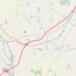


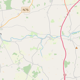
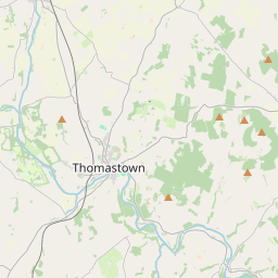

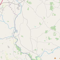
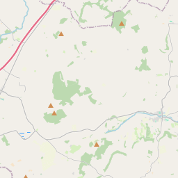
Leaflet | Map data © OpenStreetMap contributors
Area
Kilferagh has an area of 3.9 km² / 955.2 acres / 1.5 square miles.
Townlands
There are 2 townlands that we know about in Kilferagh. This represents 100% of all the area in Kilferagh.
- Baile an Fhasaigh (see Sheastown (Baile an Fhasaigh) , Kilferagh Civil Parish, Barony of Shillelogher, Co. Kilkenny)
- Cill Fíora (see Kilferagh (Cill Fíora) , Kilferagh Civil Parish, Barony of Shillelogher, Co. Kilkenny)
- Kilferagh (Cill Fíora) , Kilferagh Civil Parish, Barony of Shillelogher, Co. Kilkenny 363 A, 3 R, 9 P
- Sheastown (Baile an Fhasaigh) , Kilferagh Civil Parish, Barony of Shillelogher, Co. Kilkenny 591 A, 1 R, 16 P
 OpenStreetMap
Kilferagh was added to OpenStreetMap on 22 Jul 2015 by murtcostello.
- View
- Edit