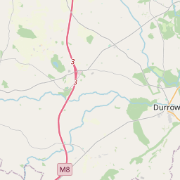
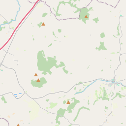
Based on data in OpenStreetMap, here is a list of townlands in the Electoral Division / ED / District Electoral Division of Grantstown.
Grantstown is in Co.
Grantstown is not matched up to Logainm.ie yet.
Map
It is located at 52° 52' 19" N, 7° 31' 10" W.


Leaflet | Map data © OpenStreetMap contributors
Area
Grantstown has an area of 20.8 km² / 5,151.5 acres / 8.0 square miles.
Townlands
There are 20 townlands that we know about in . This represents 100% of all the area in .
- Ballyhinode 93 A, 2 R, 3 P
- Baunoge 89 A, 0 R, 26 P
- Bordwell Big 181 A, 1 R, 1 P
- Bordwell Little 65 A, 1 R, 6 P
- Coolacurragh 165 A, 0 R, 8 P
- Coolbally 432 A, 3 R, 29 P
- Coolkerry 487 A, 2 R, 8 P
- Court 150 A, 2 R, 27 P
- Curragh 187 A, 0 R, 3 P
- Garryduff 439 A, 3 R, 17 P
- Garryniska 43 A, 1 R, 15 P
- Grantstown 500 A, 1 R, 21 P
- Middlemount 185 A, 3 R, 35 P
- Middlemount or Ballyvoghlaun 438 A, 0 R, 26 P
- Oldglass 1041 A, 0 R, 9 P
- Rahandrick Lower 95 A, 3 R, 33 P
- Rahandrick Upper 298 A, 0 R, 30 P
- Shanvaghey 189 A, 3 R, 38 P
- Tinnaragh 40 A, 3 R, 10 P
- Tooreagh 25 A, 1 R, 8 P
 OpenStreetMap
Grantstown was added to OpenStreetMap on 9 Mar 2015 by Teester.
- View
- Edit

 JOSM
JOSM iD
iD