Based on data in OpenStreetMap, here is a list of townlands in Gernonstown.
Gernonstown is in the baronies of Ardee.
Gernonstown is in the counties of Louth.
Gernonstown is on Logainm.ie: Gernonstown.
Map
It is located at 53° 53' 57" N, 6° 22' 56" W.
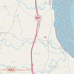
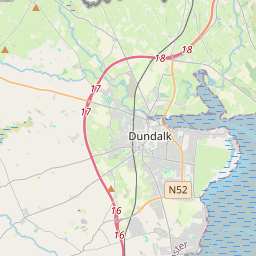
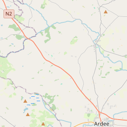
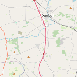
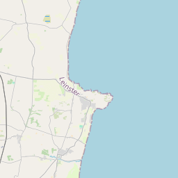
Leaflet | Map data © OpenStreetMap contributors
Area
Gernonstown has an area of 4.4 km² / 1,080.1 acres / 1.7 square miles.
Townlands
There are 2 townlands that we know about in Gernonstown. This represents 100% of all the area in Gernonstown.
- Baile an Ghearlánaigh (see Castlebellingham (Baile an Ghearlánaigh) , Gernonstown Civil Parish, Barony of Ardee, Co. Louth)
- Castlebellingham (Baile an Ghearlánaigh) , Gernonstown Civil Parish, Barony of Ardee, Co. Louth 1022 A, 2 R, 20 P
- Droimíneach (see Drummeenagh (Droimíneach) , Gernonstown Civil Parish, Barony of Ardee, Co. Louth)
- Drummeenagh (Droimíneach) , Gernonstown Civil Parish, Barony of Ardee, Co. Louth 57 A, 2 R, 1 P
 OpenStreetMap
Gernonstown was added to OpenStreetMap on 6 Aug 2015 by brianboru.
- View
- Edit