Based on data in OpenStreetMap, here is a list of townlands in Ardagh.
Ardagh is in the baronies of Lower Slane and Morgallion.
Ardagh is in the counties of Meath.
Ardagh is on Logainm.ie: Ardagh.
Map
It is located at 53° 53' 12" N, 6° 43' 43" W.
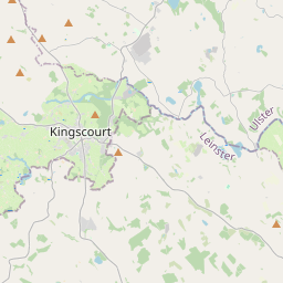
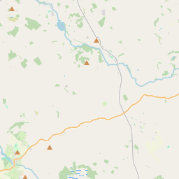

Leaflet | Map data © OpenStreetMap contributors
Area
Ardagh has an area of 15.1 km² / 3,727.6 acres / 5.8 square miles.
Townlands
There are 5 townlands that we know about in Ardagh. This represents 100% of all the area in Ardagh.
- Ardagh, Ardagh Civil Parish, Barony of Lower Slane, Co. Meath 526 A, 3 R, 4 P
- Barleyhill, Ardagh Civil Parish, Barony of Lower Slane, Co. Meath 770 A, 1 R, 39 P
- Cloghreagh, Ardagh Civil Parish, Barony of Morgallion, Co. Meath 1312 A, 1 R, 18 P
- Meath Hill, Ardagh Civil Parish, Barony of Lower Slane, Co. Meath 958 A, 1 R, 28 P
- Rathlagan, Ardagh Civil Parish, Barony of Lower Slane, Co. Meath 159 A, 2 R, 9 P
 OpenStreetMap
Ardagh was added to OpenStreetMap on 2 May 2015 by brianboru.
- View
- Edit