Based on data in OpenStreetMap, here is a list of townlands in Kilbrew.
Kilbrew is in the baronies of Ratoath.
Kilbrew is in the counties of Meath.
Kilbrew is on Logainm.ie: Kilbrew.
Map
It is located at 53° 32' 36" N, 6° 28' 31" W.
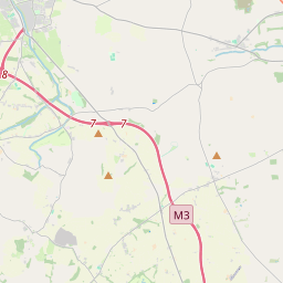
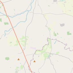
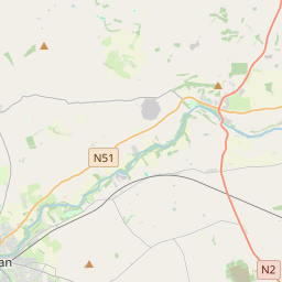
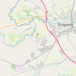
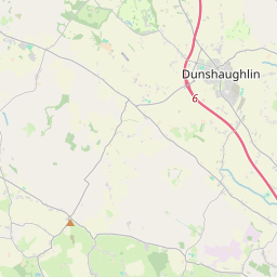

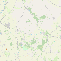
Leaflet | Map data © OpenStreetMap contributors
Area
Kilbrew has an area of 10.2 km² / 2,526.9 acres / 3.9 square miles.
Townlands
There are 5 townlands that we know about in Kilbrew. This represents 60.8% of all the area in Kilbrew.
- Bodeen, Kilbrew Civil Parish, Barony of Ratoath, Co. Meath 201 A, 0 R, 26 P
- Frankstown, Kilbrew Civil Parish, Barony of Ratoath, Co. Meath 138 A, 3 R, 0 P
- Loughlinstown, Kilbrew Civil Parish, Barony of Ratoath, Co. Meath 272 A, 3 R, 21 P
- Reask, Kilbrew Civil Parish, Barony of Ratoath, Co. Meath 803 A, 2 R, 8 P
- Riggins, Kilbrew Civil Parish, Barony of Ratoath, Co. Meath 120 A, 3 R, 37 P
 OpenStreetMap
Kilbrew was added to OpenStreetMap on 19 May 2015 by brianboru.
- View
- Edit