Based on data in OpenStreetMap, here is a list of townlands in the Electoral Division / ED / District Electoral Division of Derryad.
Derryad is in Co.
Derryad is not matched up to Logainm.ie yet.
Map
It is located at 53° 10' 22" N, 7° 50' 37" W.
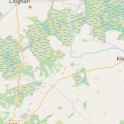
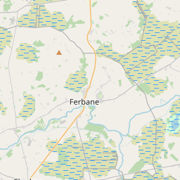
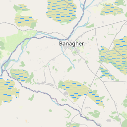
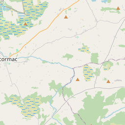
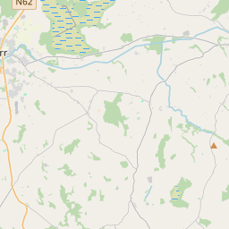
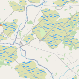
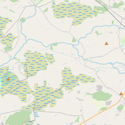
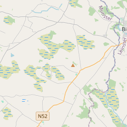
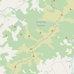
Leaflet | Map data © OpenStreetMap contributors
Area
Derryad has an area of 29.7 km² / 7,342.6 acres / 11.5 square miles.
Townlands
There are 14 townlands that we know about in . This represents 100% of all the area in .
- Aghagoogy 452 A, 1 R, 32 P
- Ballykealy 289 A, 3 R, 4 P
- Ballynacard 390 A, 2 R, 9 P
- Carrigeen 127 A, 1 R, 2 P
- Clooneen 486 A, 1 R, 1 P
- Derrinlough 1518 A, 3 R, 9 P
- Derryad 247 A, 0 R, 7 P
- Derrymullin and Loughderry 379 A, 0 R, 16 P
- Doorosheath 51 A, 0 R, 26 P
- Drinagh 1684 A, 3 R, 16 P
- Glenamony Glebe 329 A, 1 R, 9 P
- Lowerheath 174 A, 3 R, 27 P
- Parkmore 230 A, 0 R, 2 P
- Whigsborough 981 A, 0 R, 8 P
 OpenStreetMap
Derryad was added to OpenStreetMap on 6 Jan 2015 by Teester.
- View
- Edit