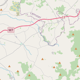
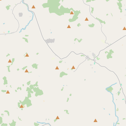
Based on data in OpenStreetMap, here is a list of townlands in the Electoral Division / ED / District Electoral Division of Latteragh.
Latteragh is in Co.
Latteragh is not matched up to Logainm.ie yet.
Map
It is located at 52° 49' 37" N, 8° 1' 48" W.


Leaflet | Map data © OpenStreetMap contributors
Area
Latteragh has an area of 28.5 km² / 7,039.9 acres / 11.0 square miles.
Townlands
There are 29 townlands that we know about in . This represents 100% of all the area in .
- Baynanagh 131 A, 3 R, 21 P
- Bigpark 260 A, 0 R, 29 P
- Blean 431 A, 1 R, 11 P
- Bredagh 284 A, 0 R, 15 P
- Bunacum 211 A, 3 R, 4 P
- Carrick 2 A, 3 R, 14 P
- Carrick (Maunsell) 136 A, 2 R, 22 P
- Castlequarter 126 A, 0 R, 12 P
- Cloon 35 A, 2 R, 9 P
- Coole 134 A, 2 R, 13 P
- Coolkereen 148 A, 1 R, 21 P
- Curragh 102 A, 2 R, 24 P
- Curraghaneety 105 A, 3 R, 28 P
- Garrane 497 A, 1 R, 5 P
- Glenawinna 126 A, 2 R, 33 P
- Glenmore Lower 194 A, 2 R, 15 P
- Glenmore Upper 426 A, 2 R, 26 P
- Killanafinch 934 A, 2 R, 28 P
- Knocknagoogh 176 A, 2 R, 32 P
- Lackakera 500 A, 3 R, 15 P
- Laghile 457 A, 3 R, 9 P
- Latteragh 473 A, 3 R, 36 P
- Monanore 427 A, 2 R, 22 P
- Ollatrim 47 A, 0 R, 5 P
- Poulakerry 270 A, 1 R, 35 P
- Rosgoordagh 128 A, 0 R, 2 P
- Sallypark 197 A, 2 R, 15 P
- Tobinsgarden 16 A, 3 R, 18 P
- Woodlands 51 A, 0 R, 16 P
 OpenStreetMap
Latteragh was added to OpenStreetMap on 8 Dec 2016 by Teester.
- View
- Edit

 JOSM
JOSM iD
iD