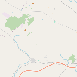
Based on data in OpenStreetMap, here is a list of townlands in the Electoral Division / ED / District Electoral Division of Crossdernot.
Crossdernot is in Co.
Crossdernot is not matched up to Logainm.ie yet.
Map
It is located at 54° 33' 35" N, 6° 50' 7" W.


Leaflet | Map data © OpenStreetMap contributors
Area
Crossdernot has an area of 19.8 km² / 4,902.4 acres / 7.7 square miles.
Townlands
There are 20 townlands that we know about in . This represents 100% of all the area in .
- Ballymacall 213 A, 0 R, 32 P
- Claggan 337 A, 2 R, 22 P
- Coolmaghry 243 A, 3 R, 19 P
- Corkhill 257 A, 1 R, 25 P
- Creeve 119 A, 0 R, 39 P
- Crossdernot 287 A, 3 R, 16 P
- Curlonan 143 A, 3 R, 15 P
- Drumconor 280 A, 3 R, 7 P
- Drummond 322 A, 0 R, 27 P
- Dungororan 264 A, 2 R, 9 P
- Gortavoy 105 A, 0 R, 10 P
- Gortindarragh 297 A, 2 R, 12 P
- Kerrib 437 A, 0 R, 1 P
- Kilmakardle 238 A, 0 R, 26 P
- Lisnagleer 233 A, 1 R, 37 P
- Mulnagore 284 A, 2 R, 11 P
- Skea 199 A, 1 R, 32 P
- Thornhill Glebe 118 A, 2 R, 27 P
- Tullyaran 290 A, 1 R, 23 P
- Tulnagall 227 A, 1 R, 26 P
 OpenStreetMap
Crossdernot was added to OpenStreetMap on 3 Mar 2021 by b-unicycling.
- View
- Edit

 JOSM
JOSM iD
iD