Based on data in OpenStreetMap, here is a list of townlands in the Electoral Division / ED / District Electoral Division of Drumharvey.
Drumharvey is in Co.
Drumharvey is not matched up to Logainm.ie yet.
Map
It is located at 54° 27' 39" N, 7° 35' 43" W.
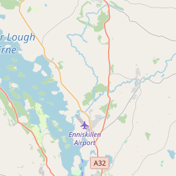
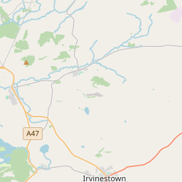
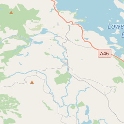
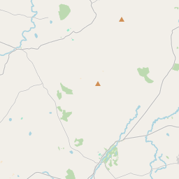
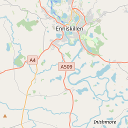
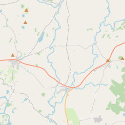
Leaflet | Map data © OpenStreetMap contributors
Area
Drumharvey has an area of 22.2 km² / 5,495.2 acres / 8.6 square miles.
Townlands
There are 15 townlands that we know about in . This represents 100% of all the area in .
- Brackagh 92 A, 0 R, 14 P
- Cabragh 827 A, 1 R, 2 P
- Coolback 124 A, 2 R, 35 P
- Doogary 295 A, 2 R, 22 P
- Drumharvey 708 A, 2 R, 17 P
- Drumsonnus 391 A, 0 R, 33 P
- Garvaghy 196 A, 2 R, 32 P
- Killymendon 250 A, 1 R, 7 P
- Makenny 809 A, 1 R, 13 P
- Relagh Guinness 458 A, 0 R, 31 P
- Roscor 248 A, 3 R, 28 P
- Scallen 316 A, 0 R, 2 P
- Shanmullagh West 507 A, 3 R, 28 P
- Sheridan 91 A, 1 R, 7 P
- Tullywolly 176 A, 3 R, 32 P
 OpenStreetMap
Drumharvey was added to OpenStreetMap on 3 Mar 2021 by b-unicycling.
- View
- Edit