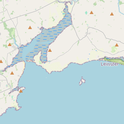
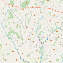
Based on data in OpenStreetMap, here is a list of townlands in the Electoral Division / ED / District Electoral Division of Bannow.
Bannow is in Co.
Bannow is not matched up to Logainm.ie yet.
Map
It is located at 52° 13' 39" N, 6° 44' 33" W.


Leaflet | Map data © OpenStreetMap contributors
Area
Bannow has an area of 24.2 km² / 5,981.9 acres / 9.3 square miles.
Townlands
There are 23 townlands that we know about in . This represents 100% of all the area in .
- Ballyfrory 261 A, 0 R, 29 P
- Ballygow 328 A, 0 R, 35 P
- Ballymadder 223 A, 0 R, 5 P
- Bannow 423 A, 2 R, 10 P
- Bannow Island 207 A, 3 R, 2 P
- Bannow Moor 101 A, 2 R, 29 P
- Blackhall 161 A, 3 R, 11 P
- Brandane 248 A, 3 R, 7 P
- Carrick 190 A, 2 R, 16 P
- Coolhull 293 A, 3 R, 10 P
- Coolishal 295 A, 2 R, 4 P
- Coolseskin 170 A, 2 R, 20 P
- Cullenstown 346 A, 0 R, 15 P
- Danescastle 456 A, 2 R, 25 P
- Graigue 181 A, 1 R, 30 P
- Graigue Little 237 A, 2 R, 11 P
- Grange 576 A, 3 R, 7 P
- Haggard 243 A, 3 R, 32 P
- Kerragh Islands 43 A, 3 R, 23 P
- Kiltra 305 A, 1 R, 2 P
- Loftusacre 2 A, 3 R, 25 P
- Newtown 458 A, 1 R, 13 P
- Vernegly 222 A, 1 R, 6 P
 OpenStreetMap
Bannow was added to OpenStreetMap on 11 Oct 2016 by Teester.
- View
- Edit

 JOSM
JOSM iD
iD