Based on data in OpenStreetMap, here is a list of townlands in the Electoral Division / ED / District Electoral Division of Killag.
Killag is in Co.
Killag is not matched up to Logainm.ie yet.
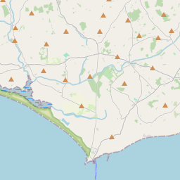
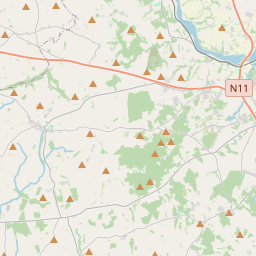
Map
It is located at 52° 12' 40" N, 6° 36' 42" W.


Leaflet | Map data © OpenStreetMap contributors
Area
Killag has an area of 19.0 km² / 4,697.6 acres / 7.3 square miles.
Townlands
There are 20 townlands that we know about in . This represents 100% of all the area in .
- Blackstone 99 A, 0 R, 20 P
- Commons 121 A, 1 R, 28 P
- Cull 291 A, 0 R, 13 P
- Gibberpatrick 199 A, 3 R, 13 P
- Gibberwell 195 A, 3 R, 1 P
- Glebe 14 A, 2 R, 25 P
- Horesland 191 A, 3 R, 35 P
- Inish and Ballyteigue Slob 1874 A, 0 R, 15 P
- Killag 317 A, 1 R, 5 P
- Newtown 59 A, 0 R, 34 P
- Nicharee 183 A, 3 R, 20 P
- Park 43 A, 2 R, 27 P
- Pembrokestown 139 A, 1 R, 31 P
- Reahouse 150 A, 1 R, 35 P
- Redmoor 223 A, 3 R, 4 P
- Richfield (Reclaimed) 154 A, 2 R, 34 P
- Richfileld 245 A, 0 R, 7 P
- Riesk 25 A, 3 R, 2 P
- Riverstown 94 A, 2 R, 33 P
- Seafield 71 A, 2 R, 22 P
 OpenStreetMap
Killag was added to OpenStreetMap on 13 Oct 2016 by Teester.
- View
- Edit

 JOSM
JOSM iD
iD