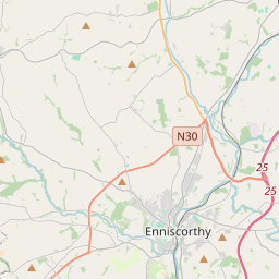
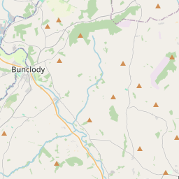
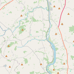
Based on data in OpenStreetMap, here is a list of townlands in the Electoral Division / ED / District Electoral Division of Marshalstown.
Marshalstown is in Co.
Marshalstown is not matched up to Logainm.ie yet.
Map
It is located at 52° 32' 45" N, 6° 35' 47" W.


Leaflet | Map data © OpenStreetMap contributors
Area
Marshalstown has an area of 25.1 km² / 6,190.1 acres / 9.7 square miles.
Townlands
There are 19 townlands that we know about in . This represents 100% of all the area in .
- Askunshin 249 A, 2 R, 25 P
- Ballinure 282 A, 1 R, 11 P
- Ballydaw 328 A, 3 R, 27 P
- Ballynakill 827 A, 0 R, 36 P
- Ballyorril 570 A, 1 R, 5 P
- Ballywilliamroe 233 A, 0 R, 10 P
- Coolnahorna 589 A, 3 R, 17 P
- Hollyfort 114 A, 2 R, 0 P
- Killalligan North 145 A, 3 R, 14 P
- Killlalligan South 90 A, 0 R, 34 P
- Marley 133 A, 0 R, 7 P
- Marshalstown 695 A, 2 R, 1 P
- Milehouse 248 A, 1 R, 19 P
- Pullinstown Big 170 A, 3 R, 26 P
- Pullinstown Little 161 A, 1 R, 2 P
- Skeahanagh 328 A, 1 R, 10 P
- Tomacurry 399 A, 0 R, 25 P
- Tomadilly 555 A, 1 R, 1 P
- Tomnakippeen 66 A, 1 R, 12 P
 OpenStreetMap
Marshalstown was added to OpenStreetMap on 16 Oct 2016 by Teester.
- View
- Edit

 JOSM
JOSM iD
iD