Based on data in OpenStreetMap, here is a list of townlands in Crehelp.
Crehelp is in the baronies of Lower Talbotstown.
Crehelp is in the counties of Wicklow.
Crehelp is on Logainm.ie: Crehelp.
Map
It is located at 53° 4' 21" N, 6° 38' 25" W.
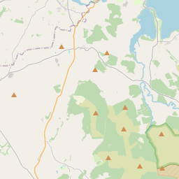

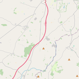
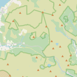
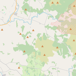
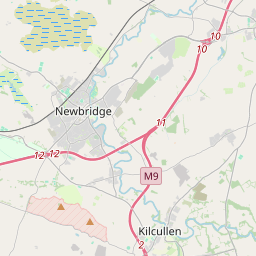
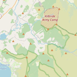
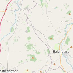
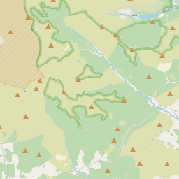
Leaflet | Map data © OpenStreetMap contributors
Area
Crehelp has an area of 9.0 km² / 2,212.4 acres / 3.5 square miles.
Townlands
There are 3 townlands that we know about in Crehelp. This represents 100% of all the area in Crehelp.
- Craobh Eilpe (see Crehelp (Craobh Eilpe) , Crehelp Civil Parish, Barony of Lower Talbotstown, Co. Wicklow)
- Crehelp (Craobh Eilpe) , Crehelp Civil Parish, Barony of Lower Talbotstown, Co. Wicklow 1265 A, 2 R, 15 P
- Kinsellastown, Crehelp Civil Parish, Barony of Lower Talbotstown, Co. Wicklow 259 A, 3 R, 16 P
- Lemonstown, Crehelp Civil Parish, Barony of Lower Talbotstown, Co. Wicklow 686 A, 3 R, 24 P
 OpenStreetMap
Crehelp was added to OpenStreetMap on 27 Feb 2016 by rorym.
- View
- Edit