Based on data in OpenStreetMap, here is a list of townlands in the Electoral Division / ED / District Electoral Division of Kinglass.
Kinglass is in Co.
Kinglass is not matched up to Logainm.ie yet.
Map
It is located at 54° 14' 32" N, 7° 37' 31" W.
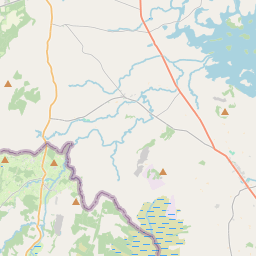
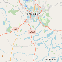
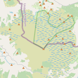
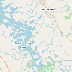
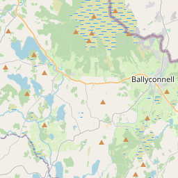
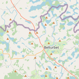
Leaflet | Map data © OpenStreetMap contributors
Area
Kinglass has an area of 8.5 km² / 2,093.7 acres / 3.3 square miles.
Townlands
There are 16 townlands that we know about in . This represents 100% of all the area in .
- Clondaval 93 A, 2 R, 1 P
- Clonliff 145 A, 0 R, 10 P
- Clontymore 119 A, 0 R, 27 P
- Corracoash 99 A, 3 R, 32 P
- Crocknacreevy 293 A, 1 R, 17 P
- Derry 113 A, 3 R, 0 P
- Derryhenny 110 A, 2 R, 26 P
- Derryleague 60 A, 0 R, 16 P
- Drumany 136 A, 0 R, 33 P
- Killafinta 52 A, 3 R, 12 P
- Kinglass 275 A, 0 R, 28 P
- Laragh 131 A, 3 R, 4 P
- Mullaghgarrow 181 A, 1 R, 14 P
- Portbeg 73 A, 2 R, 26 P
- Portreagh 59 A, 1 R, 19 P
- Stragowna 147 A, 3 R, 1 P
 OpenStreetMap
Kinglass was added to OpenStreetMap on 13 Oct 2020 by brianh.
- View
- Edit