Based on data in OpenStreetMap, here is a list of townlands in the Electoral Division / ED / District Electoral Division of Rockfield or Killaclean.
Rockfield or Killaclean is in Co.
Rockfield or Killaclean is not matched up to Logainm.ie yet.
Map
It is located at 54° 25' 47" N, 7° 39' 50" W.
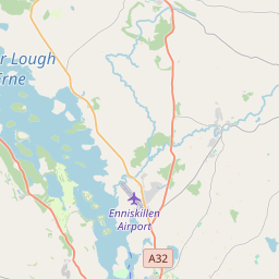
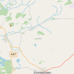
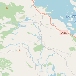
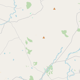
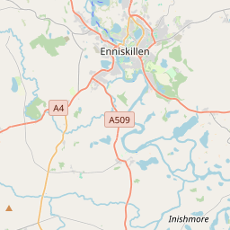
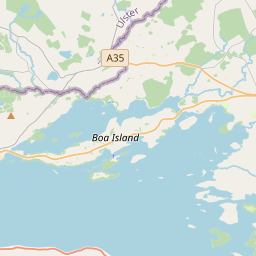
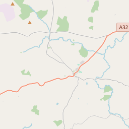
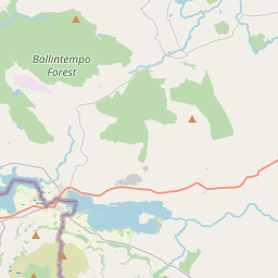
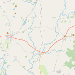
Leaflet | Map data © OpenStreetMap contributors
Area
Rockfield or Killaclean has an area of 9.8 km² / 2,430.3 acres / 3.8 square miles.
Townlands
There are 17 townlands that we know about in . This represents 100% of all the area in .
- Buninubber 136 A, 3 R, 4 P
- Cantytrindle 152 A, 1 R, 1 P
- Cules Long 163 A, 2 R, 25 P
- Cules Short 125 A, 2 R, 18 P
- Dring 133 A, 3 R, 31 P
- Drumgarrow 108 A, 2 R, 35 P
- Druminshin More 102 A, 2 R, 23 P
- Drummackilowney 250 A, 3 R, 5 P
- Drumsluice 157 A, 3 R, 31 P
- Gublusk 194 A, 2 R, 15 P
- Horse Island 58 A, 0 R, 16 P
- Oghill 84 A, 0 R, 0 P
- Rockfield 191 A, 2 R, 15 P
- Rossfad 300 A, 2 R, 21 P
- Tully 69 A, 2 R, 33 P
- Tullyclea 114 A, 1 R, 20 P
- Whitehill South 84 A, 3 R, 23 P
 OpenStreetMap
Rockfield or Killaclean was added to OpenStreetMap on 13 Mar 2021 by b-unicycling.
- View
- Edit