Based on data in OpenStreetMap, here is a list of townlands in the Electoral Division / ED / District Electoral Division of Ballinderry.
Ballinderry est dans le Comté
Ballinderry is not matched up to Logainm.ie yet.
Carte
Il est situé à 54° 32' 55" N, 6° 16' 42" W.
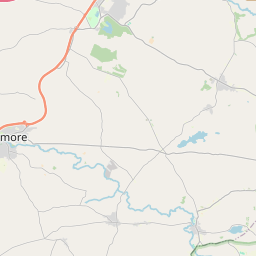
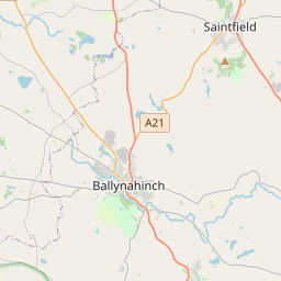
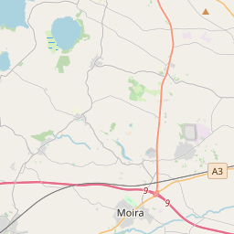
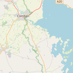

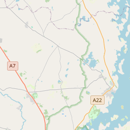
Leaflet | Map data © OpenStreetMap contributors
Superficie
Ballinderry a une superficie de 15,3 km² / 3,789,6 acres / 5,9 miles carrés.
Townlands
Il y a 5 townlands connus dans , soit 100% de la superficie de .
- Ballinderry 1178 A, 3 R, 32 P
- Deer Park 1438 A, 0 R, 16 P
- Gortrany 287 A, 3 R, 22 P
- Portmore 560 A, 1 R, 35 P
- Tullyballydonell 324 A, 0 R, 36 P
 OpenStreetMap
Ballinderry a été ajouté à OpenStreetMap le 25 Fév 2021 par b-unicycling.
- View
- Edit