Based on data in OpenStreetMap, here is a list of townlands in the Electoral Division / ED / District Electoral Division of Camlough.
Camlough est dans le Comté
Camlough is not matched up to Logainm.ie yet.
Carte
Il est situé à 54° 10' 22" N, 6° 25' 47" W.
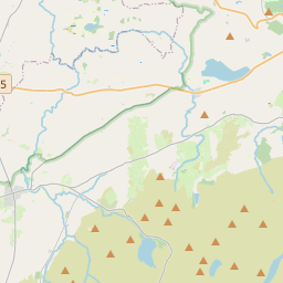
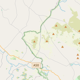
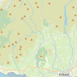
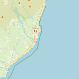
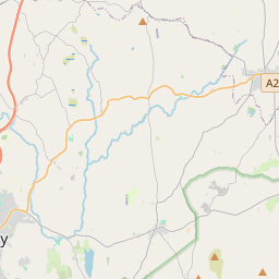

Leaflet | Map data © OpenStreetMap contributors
Superficie
Camlough a une superficie de 29,9 km² / 7,397,0 acres / 11,6 miles carrés.
Townlands
Il y a 15 townlands connus dans , soit 100% de la superficie de .
- Aghmakane 432 A, 3 R, 0 P
- Ballard 1001 A, 3 R, 27 P
- Ballynalack 483 A, 3 R, 5 P
- Carrickbrackan 443 A, 1 R, 18 P
- Carrickcloghan 406 A, 3 R, 15 P
- Carrickcroppan 361 A, 2 R, 32 P
- Cross 493 A, 1 R, 29 P
- Duburren 526 A, 2 R, 34 P
- Duvernagh 754 A, 3 R, 15 P
- Eshwary 508 A, 1 R, 2 P
- Keggall 478 A, 0 R, 5 P
- Lislea 494 A, 3 R, 35 P
- Lissaraw 348 A, 3 R, 18 P
- Maghernahely 264 A, 1 R, 6 P
- Sturgan 397 A, 0 R, 39 P
 OpenStreetMap
Camlough a été ajouté à OpenStreetMap le 22 Fév 2021 par b-unicycling.
- View
- Edit