Based on data in OpenStreetMap, here is a list of townlands in the Electoral Division / ED / District Electoral Division of Loughgall.
Loughgall est dans le Comté
Loughgall is not matched up to Logainm.ie yet.
Carte
Il est situé à 54° 25' 9" N, 6° 35' 6" W.
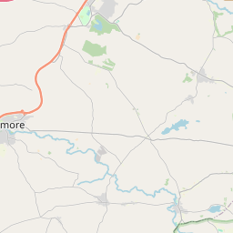
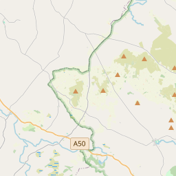

Leaflet | Map data © OpenStreetMap contributors
Superficie
Loughgall a une superficie de 21,6 km² / 5,340,3 acres / 8,3 miles carrés.
Townlands
Il y a 21 townlands connus dans , soit 100% de la superficie de .
- Annacramph 220 A, 0 R, 26 P
- Ballygasey 206 A, 0 R, 36 P
- Ballyknick 172 A, 0 R, 21 P
- Ballymagerny 261 A, 1 R, 16 P
- Castleraw 258 A, 2 R, 8 P
- Causanagh 294 A, 3 R, 21 P
- Coragh 306 A, 3 R, 38 P
- Derrycrew 447 A, 2 R, 13 P
- Derryloughan 259 A, 0 R, 20 P
- Drumart 91 A, 1 R, 24 P
- Drumart 88 A, 1 R, 14 P
- Drumharriff 209 A, 1 R, 38 P
- Fernagreevagh 286 A, 1 R, 39 P
- Grange Lower 904 A, 1 R, 16 P
- Grange Upper 64 A, 3 R, 14 P
- Greenan 193 A, 3 R, 15 P
- Kincon 112 A, 1 R, 19 P
- Levalleglish 224 A, 2 R, 14 P
- Lisneany 235 A, 3 R, 0 P
- Loughgall 136 A, 0 R, 19 P
- Tullymore 365 A, 2 R, 17 P
 OpenStreetMap
Loughgall a été ajouté à OpenStreetMap le 23 Fév 2021 par b-unicycling.
- View
- Edit