Based on data in OpenStreetMap, here is a list of townlands in the Electoral Division / ED / District Electoral Division of Tullyhappy.
Tullyhappy est dans le Comté
Tullyhappy is not matched up to Logainm.ie yet.
Carte
Il est situé à 54° 14' 13" N, 6° 25' 47" W.
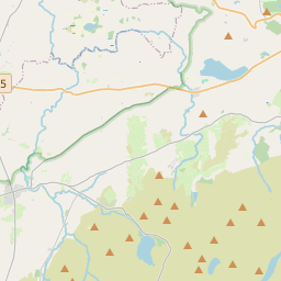
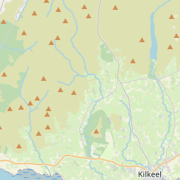
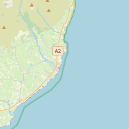
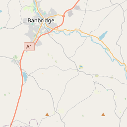
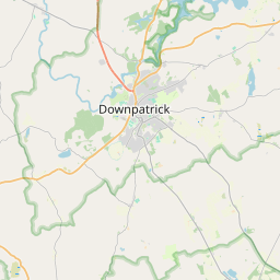
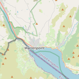

Leaflet | Map data © OpenStreetMap contributors
Superficie
Tullyhappy a une superficie de 19,6 km² / 4,840,7 acres / 7,6 miles carrés.
Townlands
Il y a 16 townlands connus dans , soit 100% de la superficie de .
- Ballydogherty 386 A, 2 R, 16 P
- Crankey 142 A, 1 R, 22 P
- Crankey 143 A, 2 R, 5 P
- Cullentragh 244 A, 2 R, 35 P
- Drummond 212 A, 1 R, 2 P
- Enagh 166 A, 0 R, 33 P
- Keady Beg 322 A, 0 R, 30 P
- Keady More 364 A, 2 R, 31 P
- Lesh 195 A, 3 R, 6 P
- Lesh 204 A, 0 R, 33 P
- Lisadian 694 A, 2 R, 33 P
- Lisnagree 241 A, 1 R, 23 P
- Lisnalee 312 A, 0 R, 0 P
- Lisnalee 150 A, 2 R, 34 P
- Rathcarbry 324 A, 3 R, 39 P
- Tullyhappy 734 A, 1 R, 2 P
 OpenStreetMap
Tullyhappy a été ajouté à OpenStreetMap le 24 Fév 2021 par b-unicycling.
- View
- Edit