Based on data in OpenStreetMap, here is a list of townlands in the Electoral Division / ED / District Electoral Division of Garryhill.
Garryhill est dans le Comté
Garryhill is not matched up to Logainm.ie yet.
Carte
Il est situé à 52° 40' 0" N, 6° 49' 36" W.

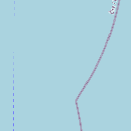
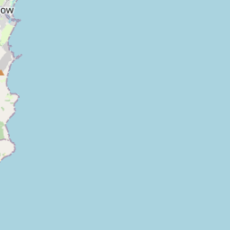
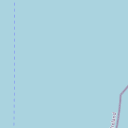

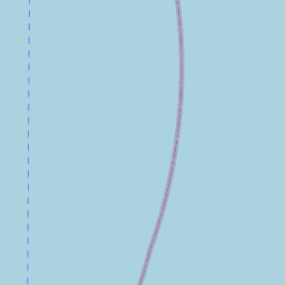


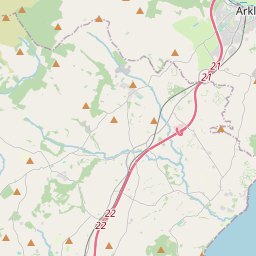

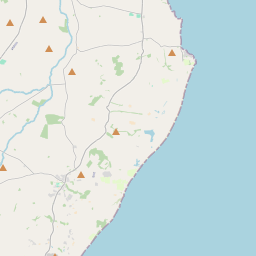

Leaflet | Map data © OpenStreetMap contributors
Superficie
Garryhill a une superficie de 23,8 km² / 5,874,5 acres / 9,2 miles carrés.
Townlands
Il y a 17 townlands connus dans , soit 100% de la superficie de .
- Ballynakill 363 A, 3 R, 25 P
- Booldurragh 124 A, 0 R, 2 P
- Clashganny 175 A, 1 R, 7 P
- Clonee East 113 A, 0 R, 6 P
- Clonee West 40 A, 0 R, 22 P
- Coolasnaghta 1223 A, 2 R, 25 P
- Drumfea 432 A, 0 R, 12 P
- Garryhill 17 A, 1 R, 13 P
- Garryhill 366 A, 0 R, 19 P
- Knockdramagh 424 A, 0 R, 33 P
- Knockendrane 740 A, 1 R, 12 P
- Milltown 351 A, 3 R, 3 P
- Mountpleasant 130 A, 3 R, 37 P
- Raheenwood 226 A, 1 R, 29 P
- Rathnageeragh 685 A, 0 R, 28 P
- Sheean 263 A, 0 R, 37 P
- Straduff 196 A, 3 R, 7 P
 OpenStreetMap
Garryhill a été ajouté à OpenStreetMap le 26 Aoû 2016 par Teester.
- View
- Edit