Based on data in OpenStreetMap, here is a list of townlands in the Electoral Division / ED / District Electoral Division of Creegh.
Creegh est dans le Comté
Creegh is not matched up to Logainm.ie yet.
Carte
Il est situé à 52° 45' 6" N, 9° 23' 48" W.

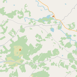
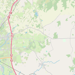
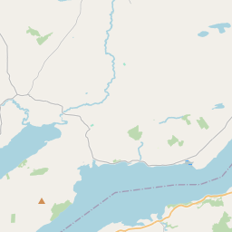
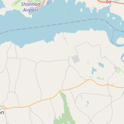
Leaflet | Map data © OpenStreetMap contributors
Superficie
Creegh a une superficie de 20,4 km² / 5,043,2 acres / 7,9 miles carrés.
Townlands
Il y a 11 townlands connus dans , soit 100% de la superficie de .
- Caheraghacullin 252 A, 1 R, 4 P
- Cloghaun Beg (East) 468 A, 1 R, 4 P
- Cloghaun Beg (West) 232 A, 2 R, 25 P
- Cloghaun More (East) 587 A, 1 R, 22 P
- Cloghaun More (West) 560 A, 1 R, 36 P
- Clooneenagh 305 A, 2 R, 12 P
- Cloonwhite North 257 A, 2 R, 4 P
- Cloonwhite South 269 A, 2 R, 13 P
- Creegh North 639 A, 3 R, 2 P
- Creegh South 487 A, 0 R, 24 P
- Leitrim 982 A, 1 R, 39 P
 OpenStreetMap
Creegh a été ajouté à OpenStreetMap le 15 Déc 2016 par Teester.
- View
- Edit