Based on data in OpenStreetMap, here is a list of townlands in the Electoral Division / ED / District Electoral Division of Gleninagh.
Gleninagh est dans le Comté
Gleninagh is not matched up to Logainm.ie yet.
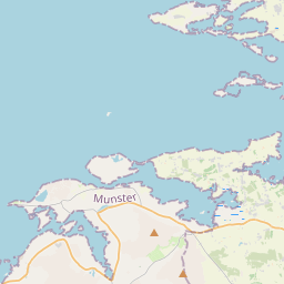
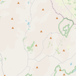
Carte
Il est situé à 53° 7' 31" N, 9° 14' 49" W.

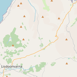
Leaflet | Map data © OpenStreetMap contributors
Superficie
Gleninagh a une superficie de 29,0 km² / 7,168,4 acres / 11,2 miles carrés.
Townlands
Il y a 13 townlands connus dans , soit 100% de la superficie de .
- Aghaglinny South 441 A, 2 R, 18 P
- Aghalinny North 533 A, 0 R, 5 P
- Fanore More 1191 A, 0 R, 17 P
- Formoyle East 848 A, 0 R, 38 P
- Formoyle West 702 A, 1 R, 3 P
- Gleninagh North 536 A, 1 R, 34 P
- Gleninagh South 653 A, 3 R, 6 P
- Illaunbrock More 0 A, 3 R, 15 P
- Illaungraffanavrankagh 6 A, 3 R, 6 P
- Illaunloo 0 A, 3 R, 39 P
- Murrooghkilty 1049 A, 1 R, 0 P
- Murrooghtoohy North 628 A, 0 R, 30 P
- Murrooghtoohy South 575 A, 3 R, 9 P
 OpenStreetMap
Gleninagh a été ajouté à OpenStreetMap le 16 Déc 2016 par Teester.
- View
- Edit