Based on data in OpenStreetMap, here is a list of townlands in the Electoral Division / ED / District Electoral Division of Liscannor.
Liscannor est dans le Comté
Liscannor is not matched up to Logainm.ie yet.
Carte
Il est situé à 52° 57' 36" N, 9° 22' 37" W.
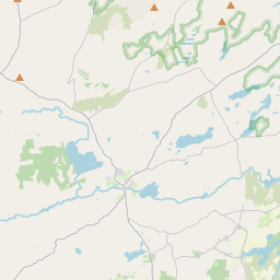
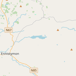

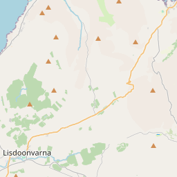
Leaflet | Map data © OpenStreetMap contributors
Superficie
Liscannor a une superficie de 13,5 km² / 3,333,2 acres / 5,2 miles carrés.
Townlands
Il y a 13 townlands connus dans , soit 100% de la superficie de .
- Ardnahea 48 A, 2 R, 25 P
- Ballycotteen North 905 A, 1 R, 17 P
- Ballycotteen South 275 A, 1 R, 22 P
- Ballyellery 268 A, 2 R, 22 P
- Ballyheean 138 A, 2 R, 9 P
- Ballyvorda 207 A, 1 R, 34 P
- Caherycahil 148 A, 3 R, 11 P
- Killasbuglonane 430 A, 3 R, 36 P
- Knocknaraha 167 A, 2 R, 10 P
- Laghcloon 261 A, 1 R, 28 P
- Laghvally 126 A, 3 R, 33 P
- Liscannor 175 A, 1 R, 4 P
- Rannagh 178 A, 0 R, 7 P
 OpenStreetMap
Liscannor a été ajouté à OpenStreetMap le 16 Déc 2016 par Teester.
- View
- Edit