Based on data in OpenStreetMap, here is a list of townlands in the Electoral Division / ED / District Electoral Division of Scarriff.
Scarriff est dans le Comté
Scarriff is not matched up to Logainm.ie yet.
Carte
Il est situé à 52° 54' 21" N, 8° 32' 4" W.
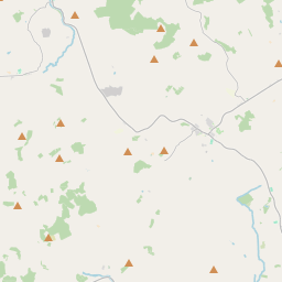
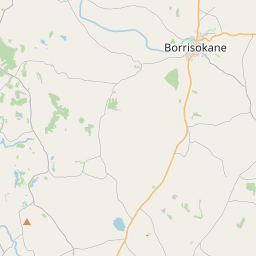
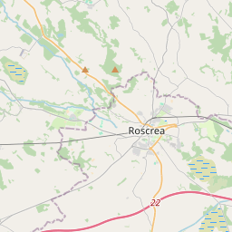
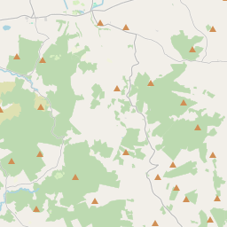
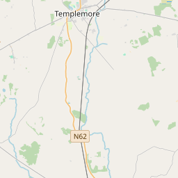
Leaflet | Map data © OpenStreetMap contributors
Superficie
Scarriff a une superficie de 29,9 km² / 7,380,5 acres / 11,5 miles carrés.
Townlands
Il y a 14 townlands connus dans , soit 95,3% de la superficie de .
- Ballymalone 1153 A, 0 R, 13 P
- Ballyminoge 447 A, 3 R, 26 P
- Ballyquin 259 A, 3 R, 6 P
- Capparoe 647 A, 2 R, 17 P
- Carrowmore 340 A, 3 R, 1 P
- Drewsborough 518 A, 2 R, 27 P
- Fossa Beg 574 A, 2 R, 6 P
- Fossa More 805 A, 1 R, 18 P
- Meenross 541 A, 2 R, 7 P
- Moynoe 421 A, 2 R, 23 P
- Poulagower 483 A, 2 R, 37 P
- Rabbit Island 5 A, 1 R, 22 P
- Raheen 406 A, 1 R, 35 P
- Tomgraney 426 A, 2 R, 23 P
 OpenStreetMap
Scarriff a été ajouté à OpenStreetMap le 18 Déc 2016 par Teester.
- View
- Edit