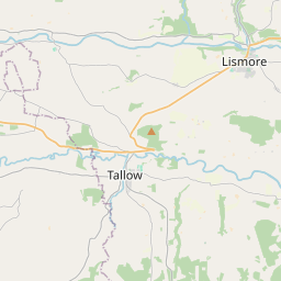
Based on data in OpenStreetMap, here is a list of townlands in the Electoral Division / ED / District Electoral Division of Ballyclogh.
Ballyclogh est dans le Comté
Ballyclogh is not matched up to Logainm.ie yet.
Carte
Il est situé à 52° 8' 54" N, 8° 43' 51" W.


Leaflet | Map data © OpenStreetMap contributors
Superficie
Ballyclogh a une superficie de 26,9 km² / 6,658,5 acres / 10,4 miles carrés.
Townlands
Il y a 26 townlands connus dans , soit 100% de la superficie de .
- Ballinookery 203 A, 1 R, 6 P
- Ballynafeaha 157 A, 3 R, 34 P
- Ballythomas 198 A, 3 R, 29 P
- Coolnamagh 157 A, 0 R, 7 P
- Curraghalehane 132 A, 0 R, 37 P
- Curraghcreen 179 A, 3 R, 30 P
- Dromdowney 56 A, 0 R, 3 P
- Dromdowney Lower 187 A, 0 R, 24 P
- Dromdowney Upper 330 A, 1 R, 23 P
- Dromrastill 236 A, 2 R, 34 P
- Firville West 347 A, 2 R, 1 P
- Gearanaskagh 280 A, 2 R, 26 P
- Gortbofinna 254 A, 1 R, 0 P
- Gortnagross 984 A, 1 R, 2 P
- Kilcranathan 411 A, 3 R, 9 P
- Kilgobban 151 A, 0 R, 7 P
- Kilmichael 126 A, 1 R, 37 P
- Kilpatrick 287 A, 2 R, 5 P
- Kilroe 248 A, 1 R, 12 P
- Longueville 321 A, 1 R, 30 P
- Moanroe 203 A, 0 R, 39 P
- Mountnorth 537 A, 2 R, 16 P
- Newtown 120 A, 0 R, 22 P
- Rossnagussane 124 A, 1 R, 38 P
- Ruanes 134 A, 1 R, 14 P
- Woodpark 285 A, 2 R, 25 P
 OpenStreetMap
Ballyclogh a été ajouté à OpenStreetMap le 26 Jan 2017 par Teester.
- View
- Edit

 JOSM
JOSM iD
iD