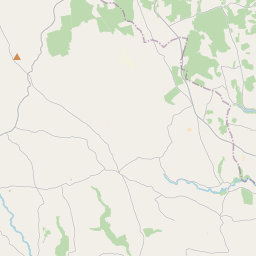
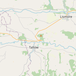
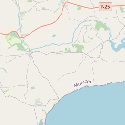
Based on data in OpenStreetMap, here is a list of townlands in the Electoral Division / ED / District Electoral Division of Ballynoe.
Ballynoe est dans le Comté
Ballynoe is not matched up to Logainm.ie yet.
Carte
Il est situé à 52° 2' 32" N, 8° 5' 42" W.


Leaflet | Map data © OpenStreetMap contributors
Superficie
Ballynoe a une superficie de 34,3 km² / 8,468,9 acres / 13,2 miles carrés.
Townlands
Il y a 23 townlands connus dans , soit 100% de la superficie de .
- Ballinlegane 323 A, 2 R, 28 P
- Ballinscurloge 622 A, 0 R, 36 P
- Ballycullane 234 A, 3 R, 20 P
- Ballyknock 409 A, 2 R, 10 P
- Ballyknock North 316 A, 3 R, 32 P
- Ballyknock South 541 A, 1 R, 36 P
- Ballymonteen 507 A, 2 R, 1 P
- Ballynattin 373 A, 1 R, 9 P
- Ballynoe 253 A, 3 R, 23 P
- Booladurragha North 291 A, 2 R, 23 P
- Booladurragha South 270 A, 2 R, 6 P
- Cullenagh 375 A, 0 R, 27 P
- Garraneribbeen 327 A, 1 R, 27 P
- Garryduff 580 A, 0 R, 28 P
- Glenreagh 458 A, 1 R, 28 P
- Glentane 273 A, 0 R, 23 P
- Killasseragh 342 A, 3 R, 4 P
- Kilphillibeen 526 A, 0 R, 19 P
- Knockakeo 295 A, 0 R, 20 P
- Longueville North 355 A, 1 R, 9 P
- Longueville South 271 A, 0 R, 32 P
- Rathdrum 330 A, 3 R, 2 P
- Shanaboola 187 A, 2 R, 2 P
 OpenStreetMap
Ballynoe a été ajouté à OpenStreetMap le 29 Jan 2017 par Teester.
- View
- Edit

 JOSM
JOSM iD
iD