Based on data in OpenStreetMap, here is a list of townlands in Barnahely.
Barnahely fait partie des baronnies de Kerrycurrihy.
Barnahely fait partie des comtés de Cork.
Barnahely est sur Logainm.ie: Barnahely.
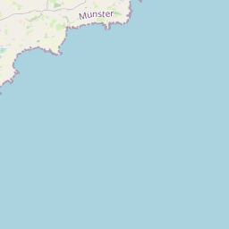
Carte
Il est situé à 51° 49' 39" N, 8° 19' 23" W.
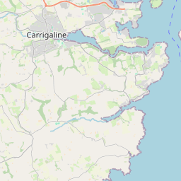
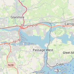
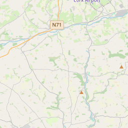
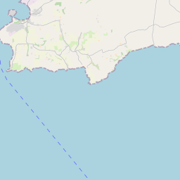
Leaflet | Map data © OpenStreetMap contributors
Superficie
Barnahely a une superficie de 4,0 km² / 987,4 acres / 1,5 miles carrés.
Townlands
There are 4 townlands that we know about in Barnahely. This represents 100% of all the area in Barnahely.
- Baile Uí Bhreacáin (see Ballybricken (Baile Uí Bhreacáin) , Paroisse civile Barnahely, Baronnie de Kerrycurrihy, Comté Cork)
- Ballybricken (Baile Uí Bhreacáin) , Paroisse civile Barnahely, Baronnie de Kerrycurrihy, Comté Cork 53 A, 3 R, 31 P
- Barnahely (Bearn na hÉille) , Paroisse civile Barnahely, Baronnie de Kerrycurrihy, Comté Cork 460 A, 1 R, 24 P
- Bearn na hÉille (see Barnahely (Bearn na hÉille) , Paroisse civile Barnahely, Baronnie de Kerrycurrihy, Comté Cork)
- An Loch Beag (see Loughbeg (An Loch Beag) , Paroisse civile Barnahely, Baronnie de Kerrycurrihy, Comté Cork)
- Loughbeg (An Loch Beag) , Paroisse civile Barnahely, Baronnie de Kerrycurrihy, Comté Cork 198 A, 2 R, 9 P
- Ringaskiddy (Rinn an Scidígh) , Paroisse civile Barnahely, Baronnie de Kerrycurrihy, Comté Cork 274 A, 2 R, 4 P
- Rinn an Scidígh (see Ringaskiddy (Rinn an Scidígh) , Paroisse civile Barnahely, Baronnie de Kerrycurrihy, Comté Cork)
 OpenStreetMap
Barnahely a été ajouté à OpenStreetMap le 16 Aoû 2016 par Teester.
- View
- Edit