Based on data in OpenStreetMap, here is a list of townlands in the Electoral Division / ED / District Electoral Division of Cloghdonnell.
Cloghdonnell est dans le Comté
Cloghdonnell is not matched up to Logainm.ie yet.
Carte
Il est situé à 51° 35' 11" N, 9° 19' 52" W.
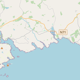
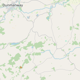

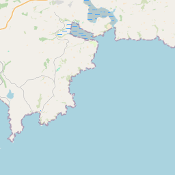

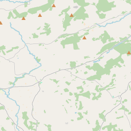
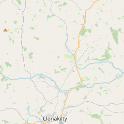

Leaflet | Map data © OpenStreetMap contributors
Superficie
Cloghdonnell a une superficie de 23,2 km² / 5,733,8 acres / 9,0 miles carrés.
Townlands
Il y a 14 townlands connus dans , soit 100% de la superficie de .
- Barnagowlane 156 A, 2 R, 13 P
- Cloghboola 137 A, 2 R, 35 P
- Coolbane 518 A, 3 R, 27 P
- Cooranuller 730 A, 1 R, 25 P
- Dromcorragh 583 A, 3 R, 8 P
- Drummig 472 A, 3 R, 18 P
- Garrane 970 A, 0 R, 16 P
- Kilnagospagh 345 A, 2 R, 29 P
- Lahertidaly 140 A, 0 R, 20 P
- Lassanaroe 374 A, 1 R, 30 P
- Lisheennapingina 91 A, 1 R, 14 P
- Lissanoohig 314 A, 3 R, 8 P
- Reencorreen 346 A, 1 R, 30 P
- Skeagh 550 A, 2 R, 6 P
 OpenStreetMap
Cloghdonnell a été ajouté à OpenStreetMap le 14 Jan 2017 par Teester.
- View
- Edit