Based on data in OpenStreetMap, here is a list of townlands in the Electoral Division / ED / District Electoral Division of Coolclogh.
Coolclogh est dans le Comté
Coolclogh is not matched up to Logainm.ie yet.
Carte
Il est situé à 52° 9' 10" N, 8° 57' 32" W.
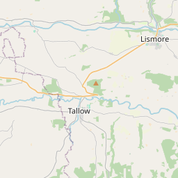
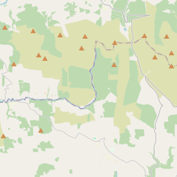
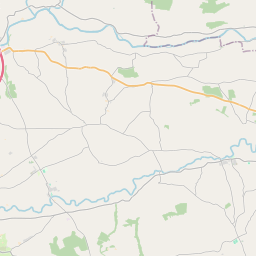
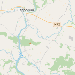
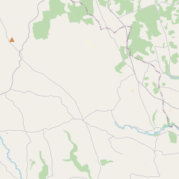
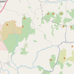
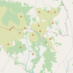
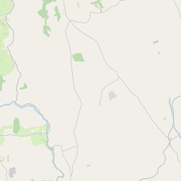
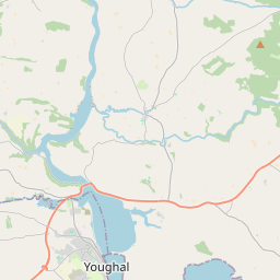
Leaflet | Map data © OpenStreetMap contributors
Superficie
Coolclogh a une superficie de 19,2 km² / 4,736,5 acres / 7,4 miles carrés.
Townlands
Il y a 14 townlands connus dans , soit 100% de la superficie de .
- Coolclogh 466 A, 1 R, 5 P
- Curragh 119 A, 2 R, 11 P
- Derrygalun 396 A, 2 R, 8 P
- Derrynamona 111 A, 1 R, 38 P
- Dromalour 415 A, 1 R, 31 P
- Farrangeel 389 A, 3 R, 6 P
- Garranbaun 94 A, 3 R, 8 P
- Garraveasoge 407 A, 1 R, 2 P
- Kilcolman 213 A, 3 R, 14 P
- Killeenleagh 420 A, 0 R, 5 P
- Killinane 481 A, 1 R, 36 P
- Knockaneroe 318 A, 2 R, 4 P
- Knockardrahan 477 A, 3 R, 35 P
- Lisnacon 423 A, 1 R, 33 P
 OpenStreetMap
Coolclogh a été ajouté à OpenStreetMap le 21 Jan 2017 par Teester.
- View
- Edit