Based on data in OpenStreetMap, here is a list of townlands in the Electoral Division / ED / District Electoral Division of Dunmanway South.
Dunmanway South est dans le Comté
Dunmanway South is not matched up to Logainm.ie yet.
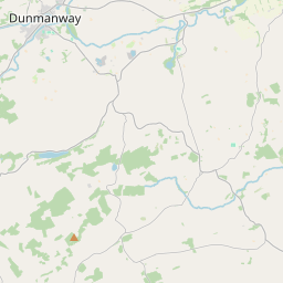
Carte
Il est situé à 51° 42' 20" N, 9° 6' 56" W.
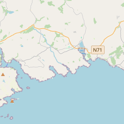

Leaflet | Map data © OpenStreetMap contributors
Superficie
Dunmanway South a une superficie de 19,4 km² / 4,798,4 acres / 7,5 miles carrés.
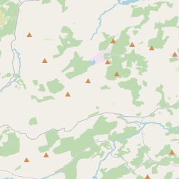
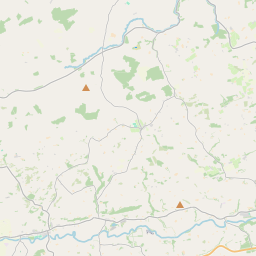
Townlands
Il y a 16 townlands connus dans , soit 100% de la superficie de .
- Ballyhalwick 574 A, 0 R, 11 P
- Brookpark 81 A, 2 R, 0 P
- Cappadineen 105 A, 3 R, 10 P
- Dunmanway South 76 A, 1 R, 28 P
- Garrybaun 90 A, 1 R, 37 P
- Kilbarry 1223 A, 3 R, 34 P
- Kilronane East 476 A, 0 R, 17 P
- Kilronane West 564 A, 1 R, 33 P
- Knockeenboy 262 A, 3 R, 28 P
- Maugh 92 A, 2 R, 38 P
- Maulashangarry 107 A, 0 R, 27 P
- Milleenanannig 445 A, 1 R, 30 P
- Mohona 427 A, 3 R, 33 P
- Shean 63 A, 2 R, 19 P
- Tonafora 174 A, 1 R, 24 P
- Underhill 31 A, 1 R, 1 P
 OpenStreetMap
Dunmanway South a été ajouté à OpenStreetMap le 19 Jan 2017 par Teester.
- View
- Edit